The route
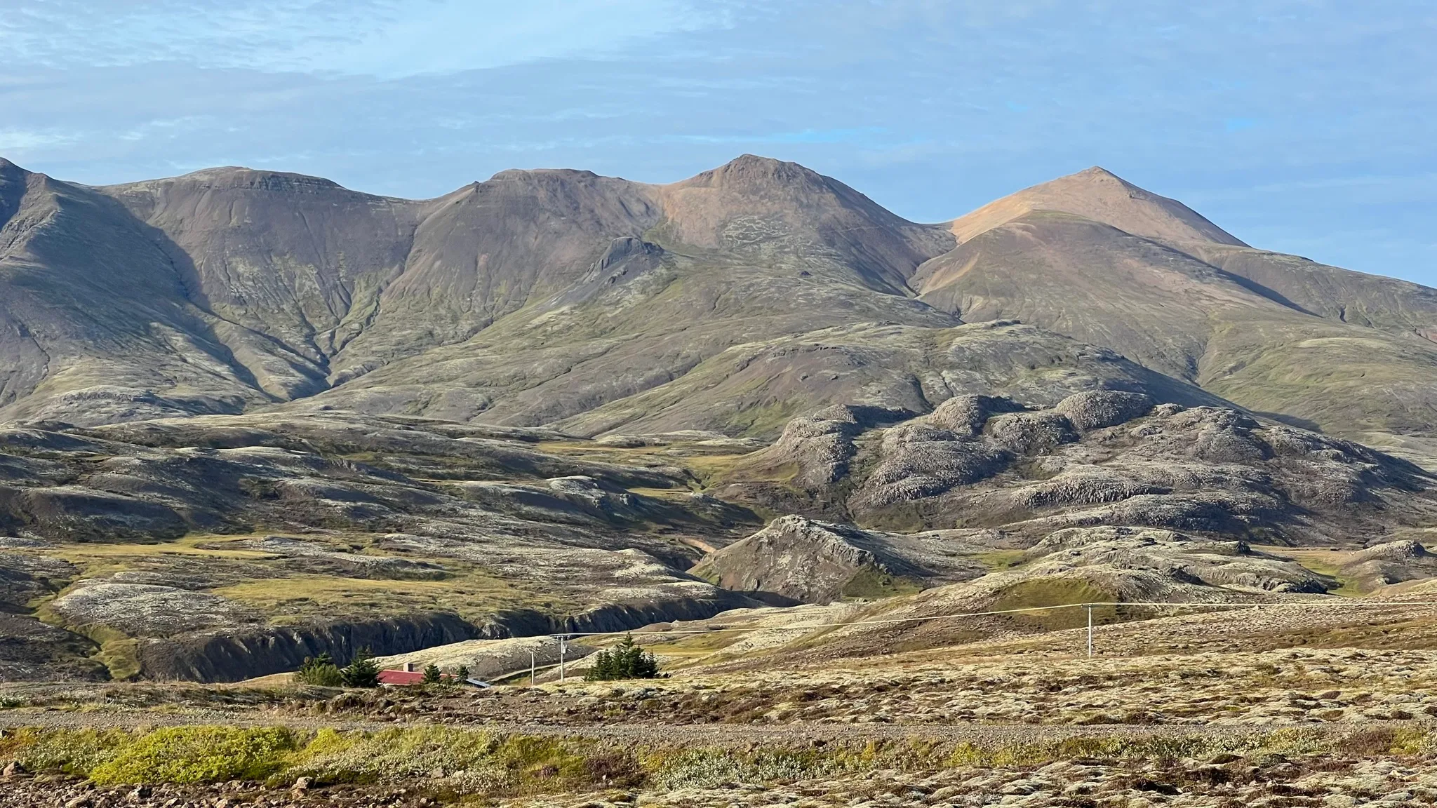
Visible from all across Reykjavík, the peaks at the eastern end of the Esja massif are topped with lighter colored rhyolite rubble giving them a distinct, always sunny look. The proximity to the capital means that this walk is fairly popular with the locals, especially on good weather weekends. However, its popularity only applies to the path ascending to the easternmost peak. The ridge walk and the return path are rougher but offer additional thrills away from the crowds.
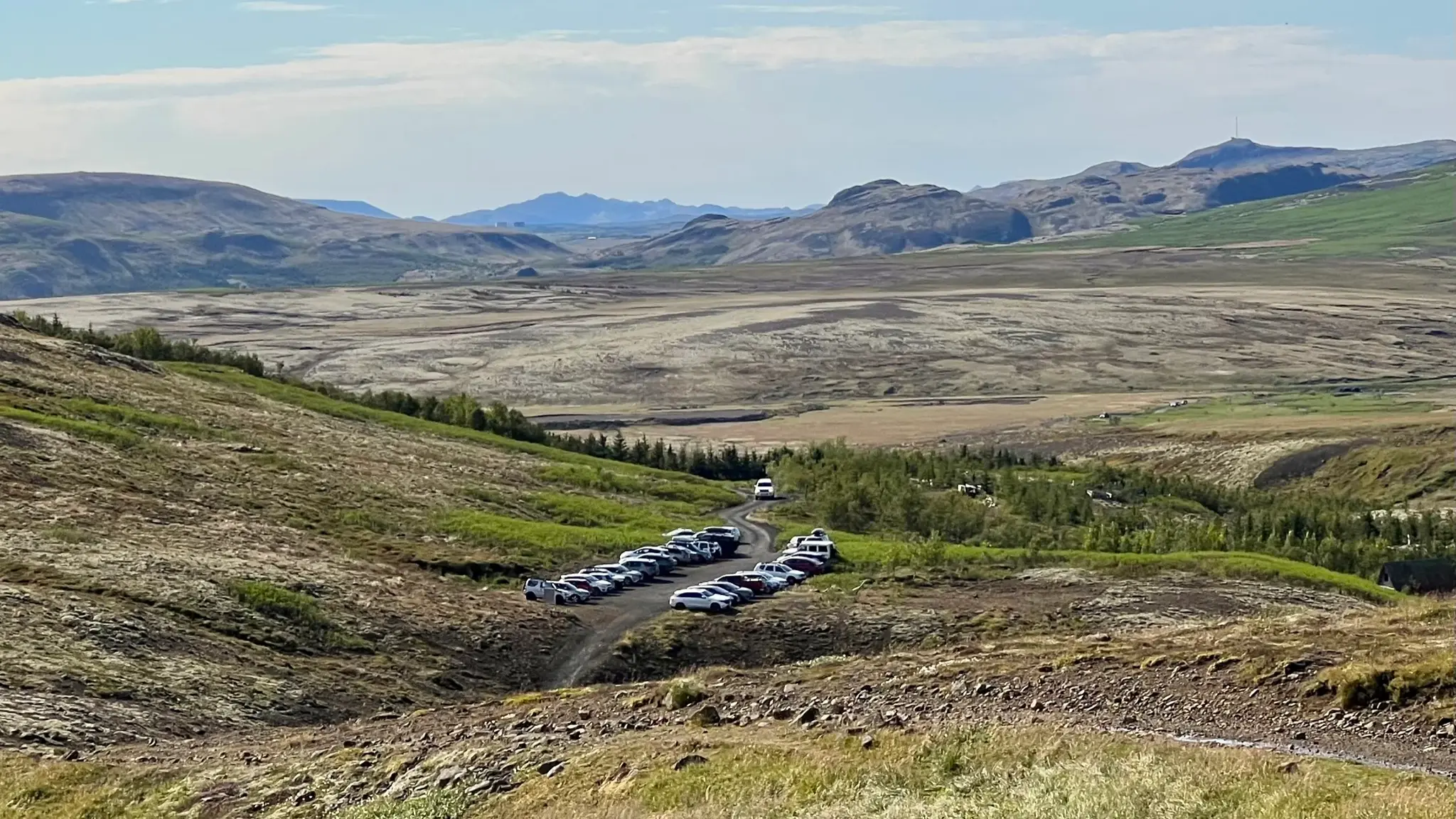
To begin continue north-east on the gravel road past the parking area. You will pass by a trail description panel (in Icelandic) and a larger safety information panel warning about equipment and knowledge needed for tackling this trail outside the summer season (both in Icelandic and English).
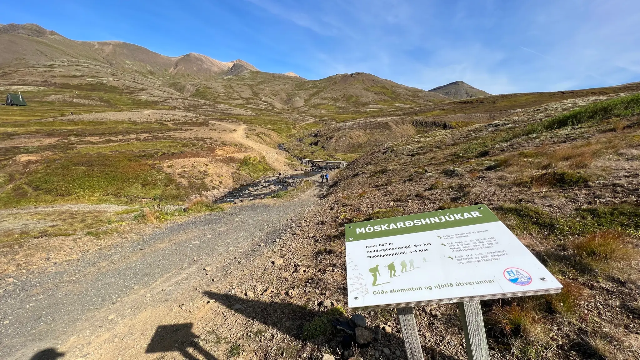
In about 100m cross the Skarðsá stream via a footbridge. The bridge doesn’t have any safety rails and it is raised; if the water level is low enough, stone skipping across the stream might be safer.
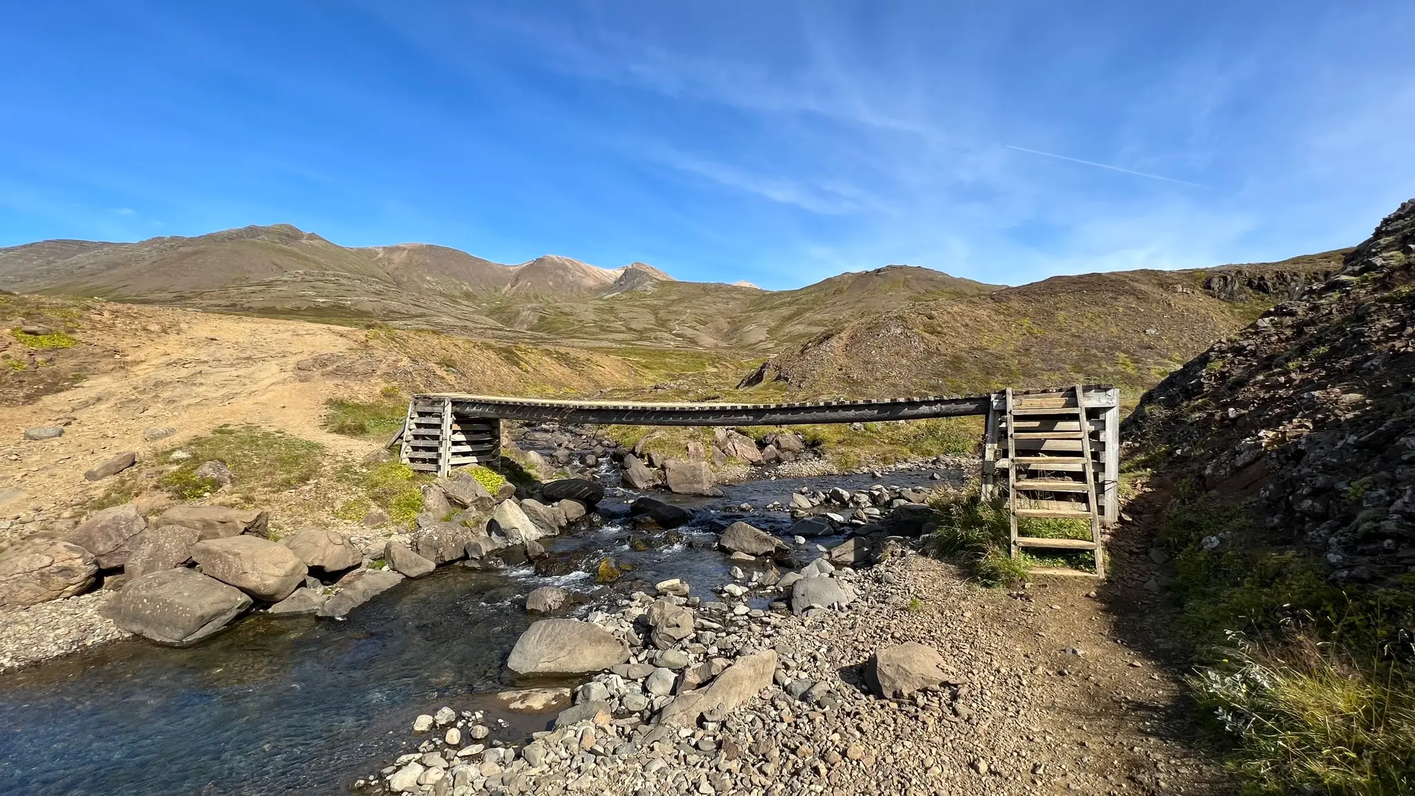
Continue on the 4x4 track for another 300m or so, staying right at the intersection you will encounter shortly after the bridge.
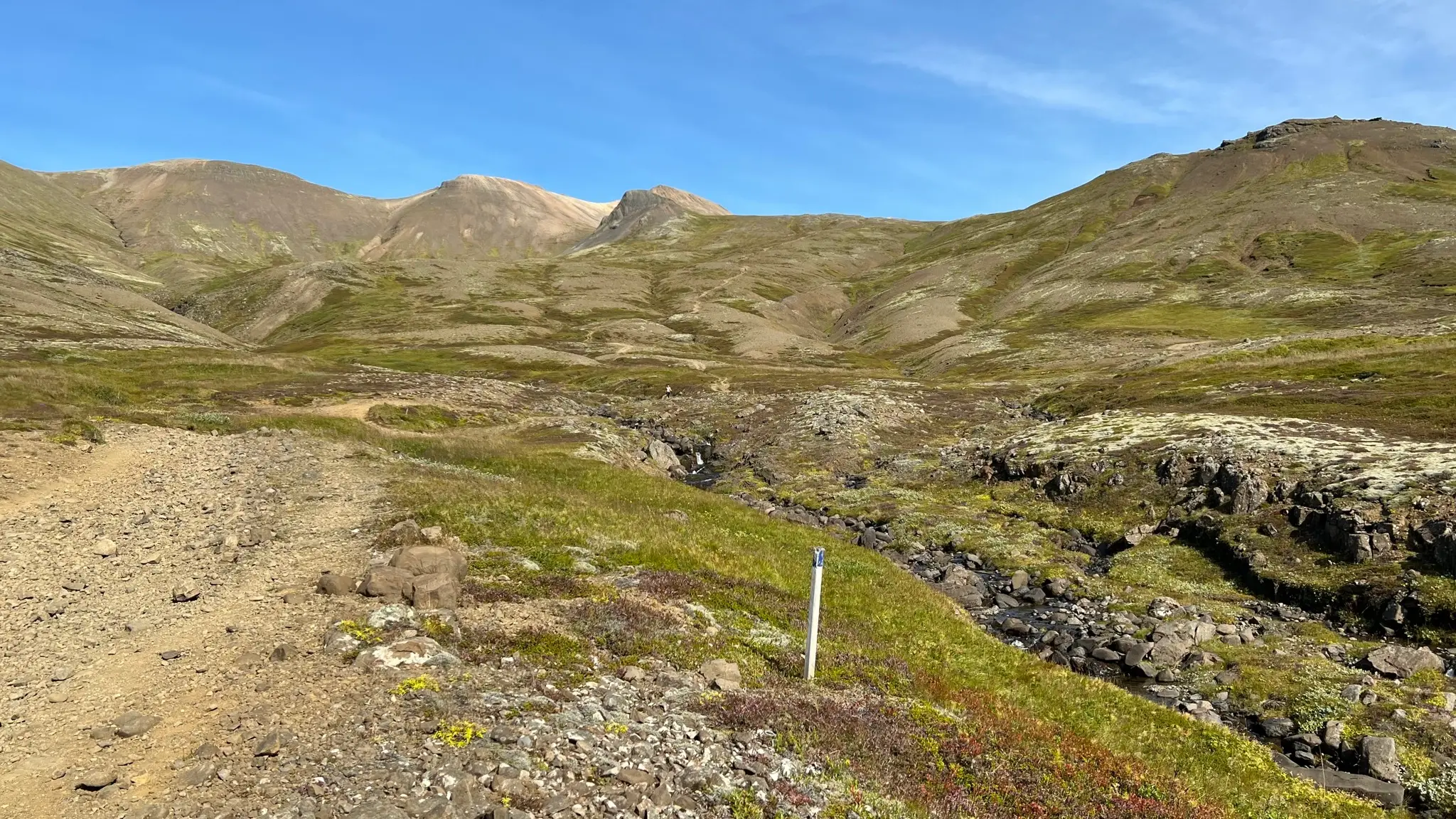
At 0.45km from the start cross a small stream and take a well defined path uphill (heading NNE).
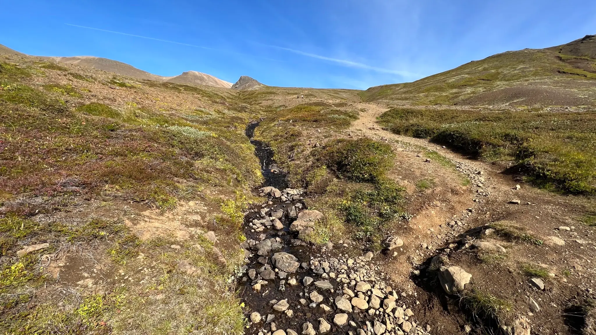
The path is way-marked with wooden sticks. The grade is moderate but consistent.
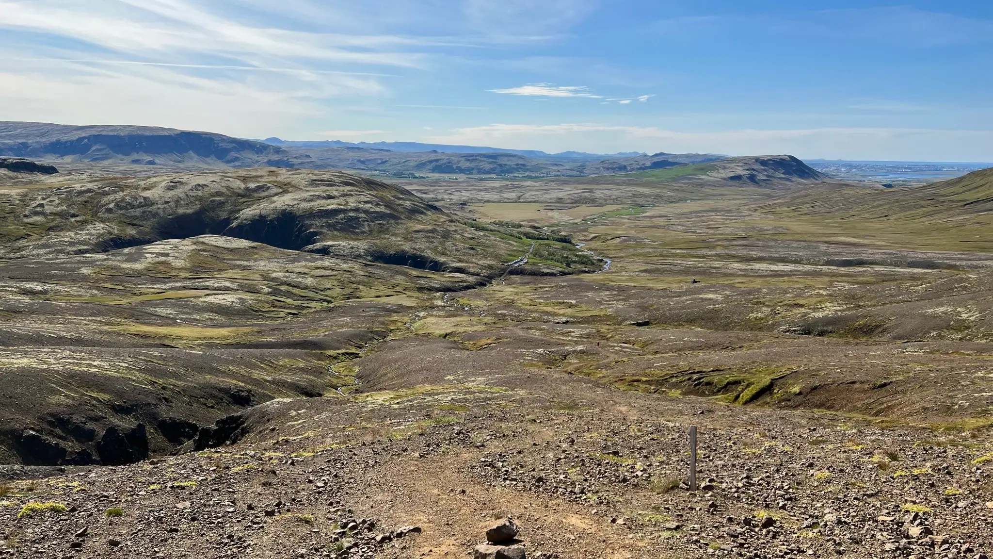
Underfoot the terrain is mostly dirt, with some erosion in parts.
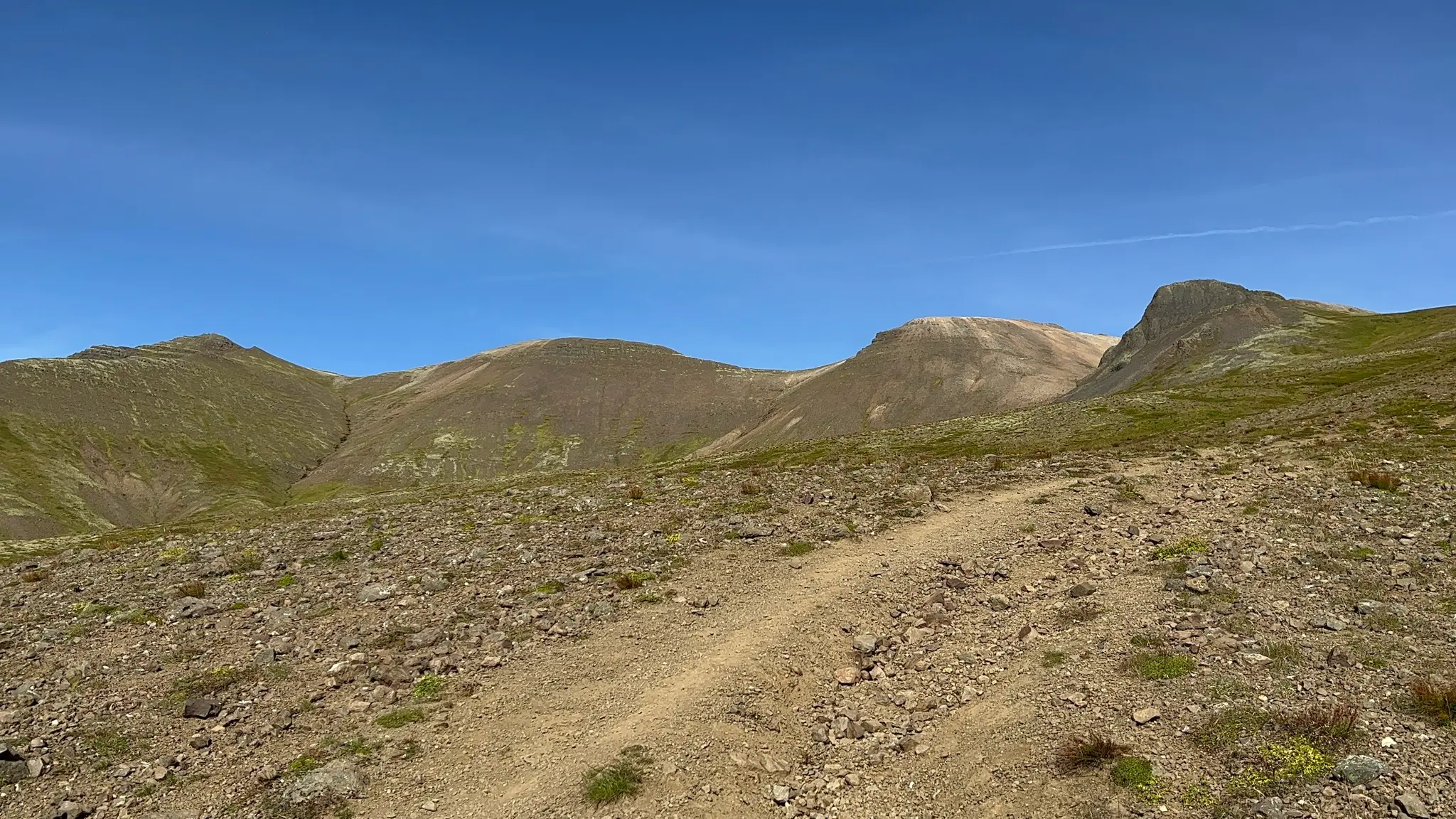
The closest landmark at this point on the trail is a darker colored knob named Bláhnúkur. At about 1.9km from the start, the trail heads northward and around Bláhnúkur, in a depression named Móskörð on the local maps.
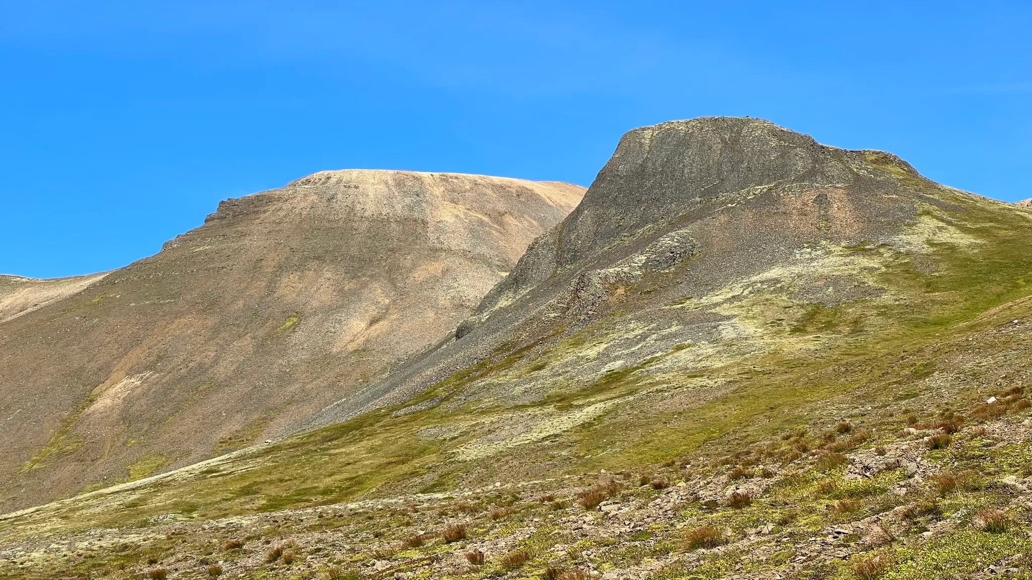
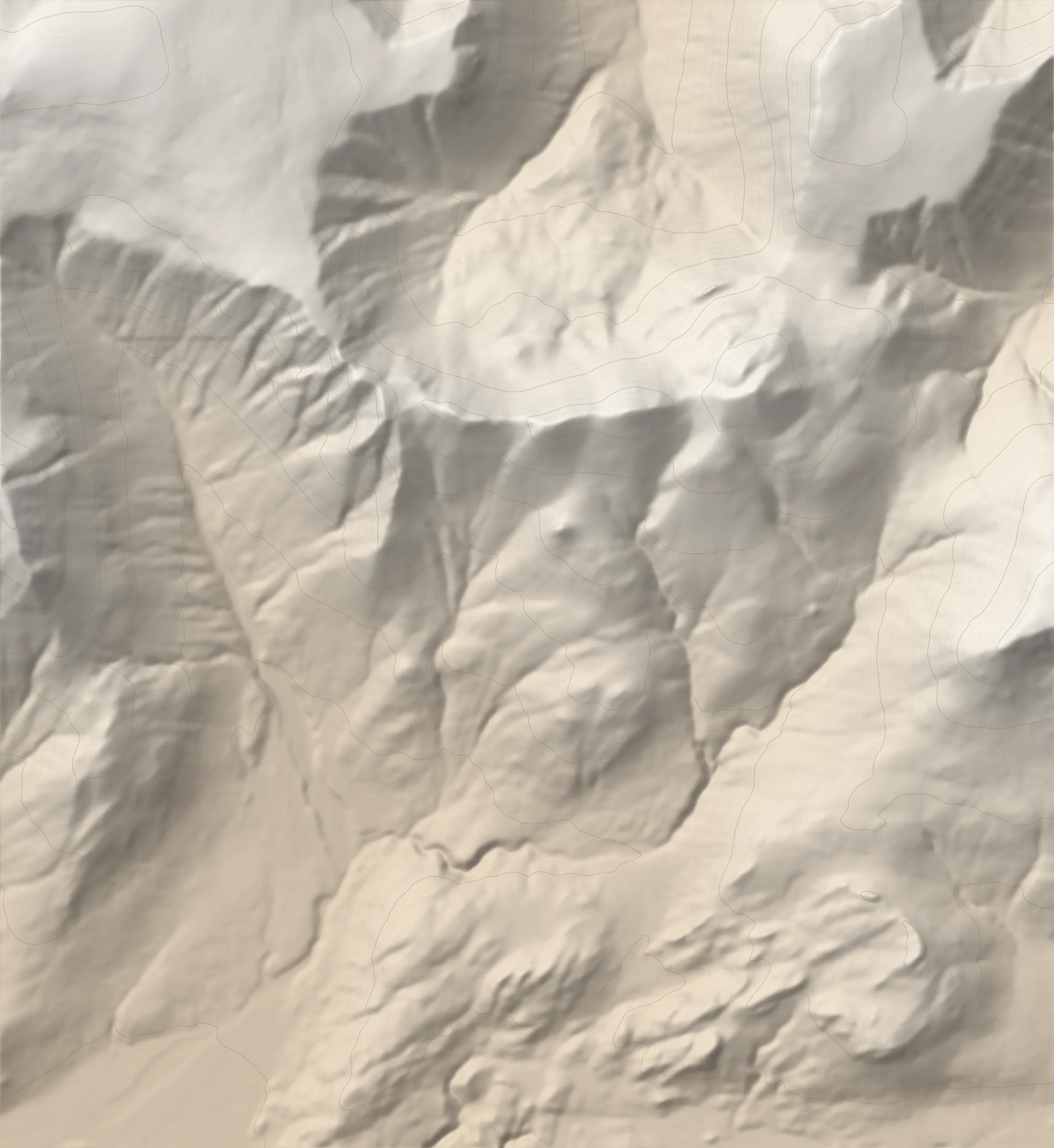
From the Móskörð area the next section of the walk should be easily apparent in good weather. The trail ascends across the increasingly vegetation-free slopes of the middle peak.
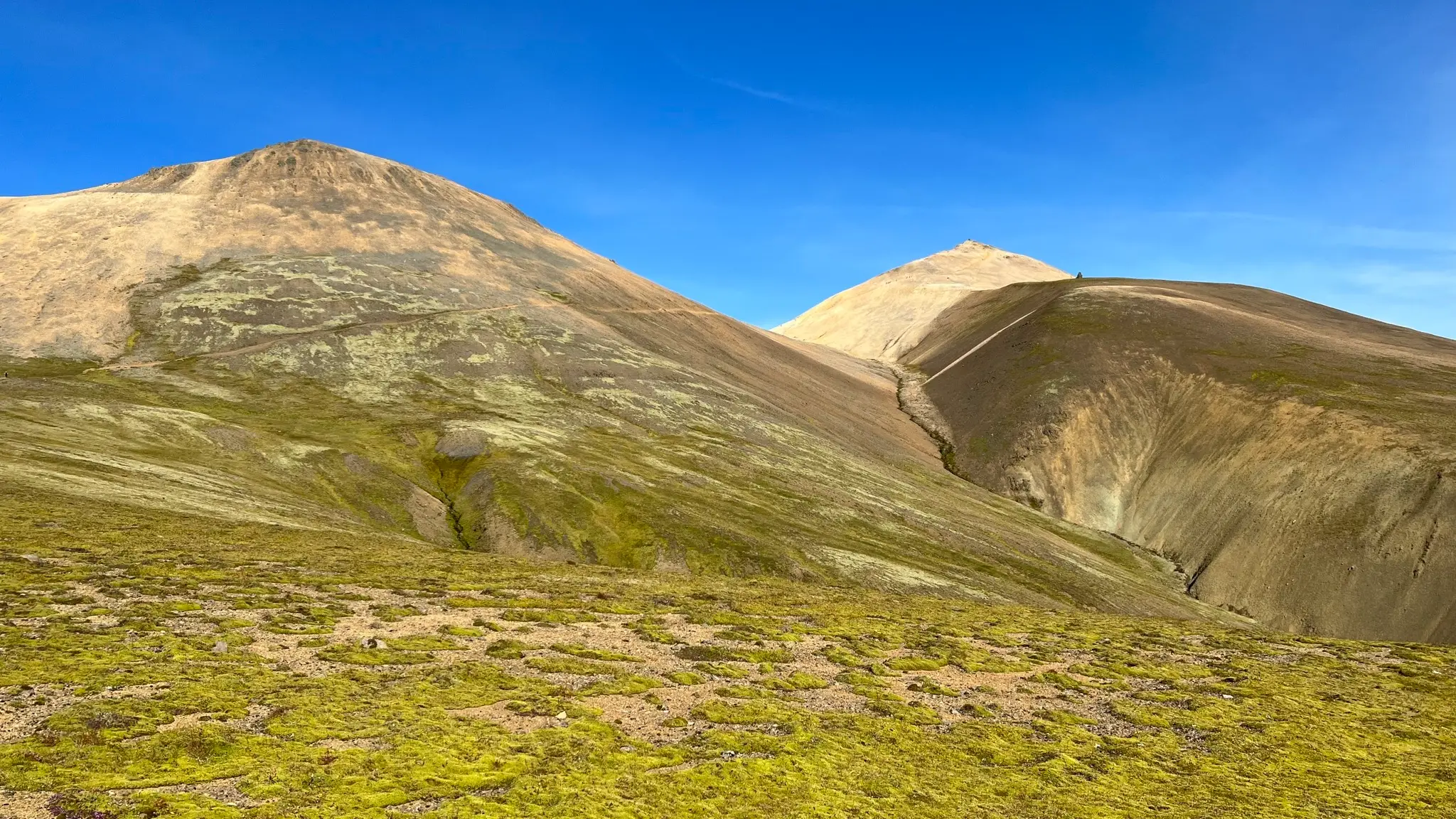
To the east a deep ravine called Þverfellsgil is visually striking with its barren rhyolite banks alternating hues of yellow, orange and brown in unexpected ways.
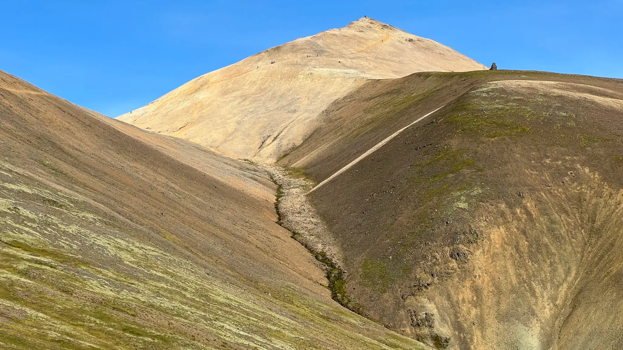
Walking across the Móskörð area is a unique experience. The light colored rhyolite reflects a significant amount of light and the sudden lack of vegetation is jarring. While the slope you are walking across is quite steep and its outermost layer is composed of loose scree, footing is not a problem due to the well trodden trail that cuts into the dirt. However, the trail being single track, moving off the trail for incoming traffic does require an increased degree of attention.
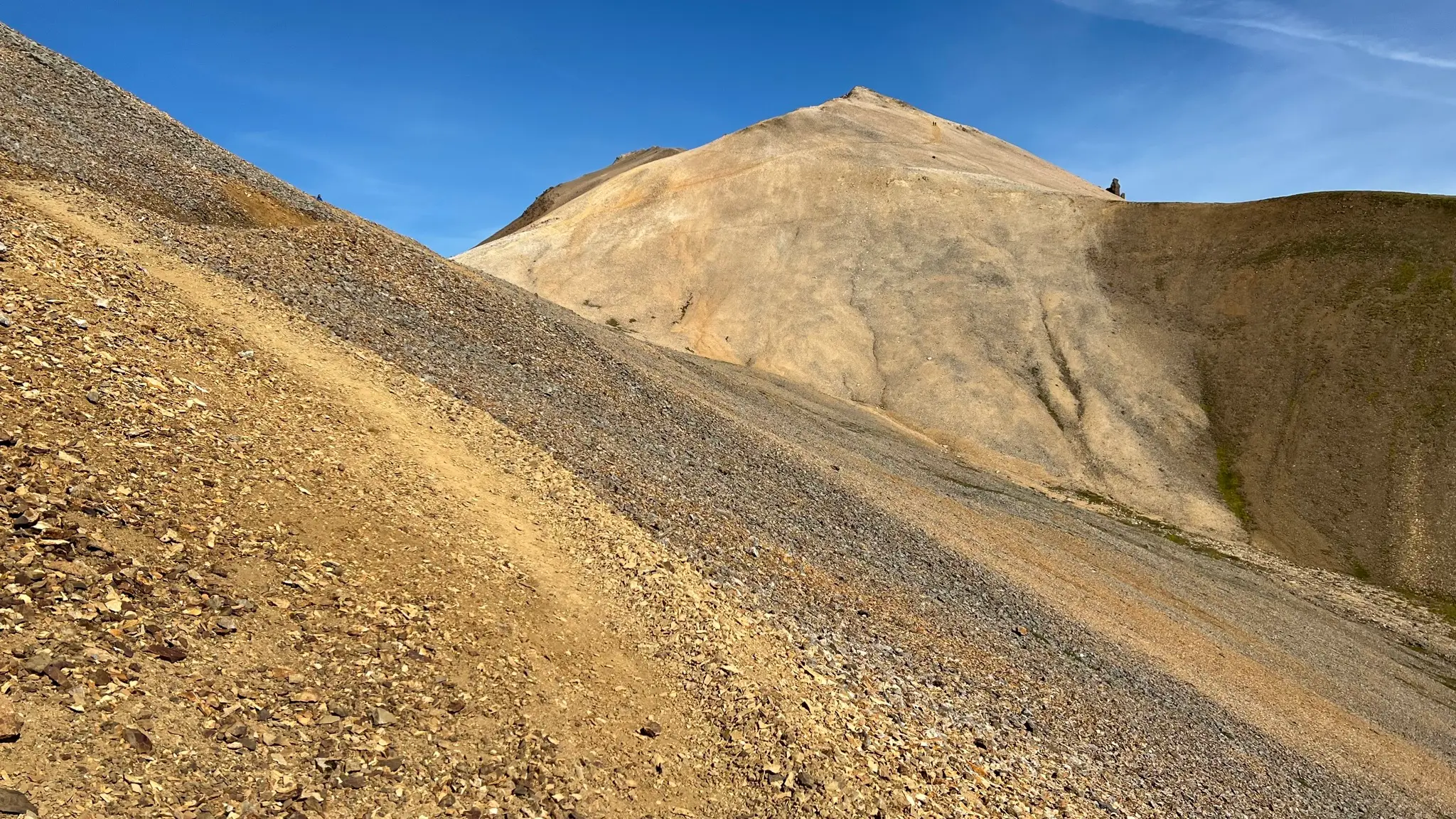
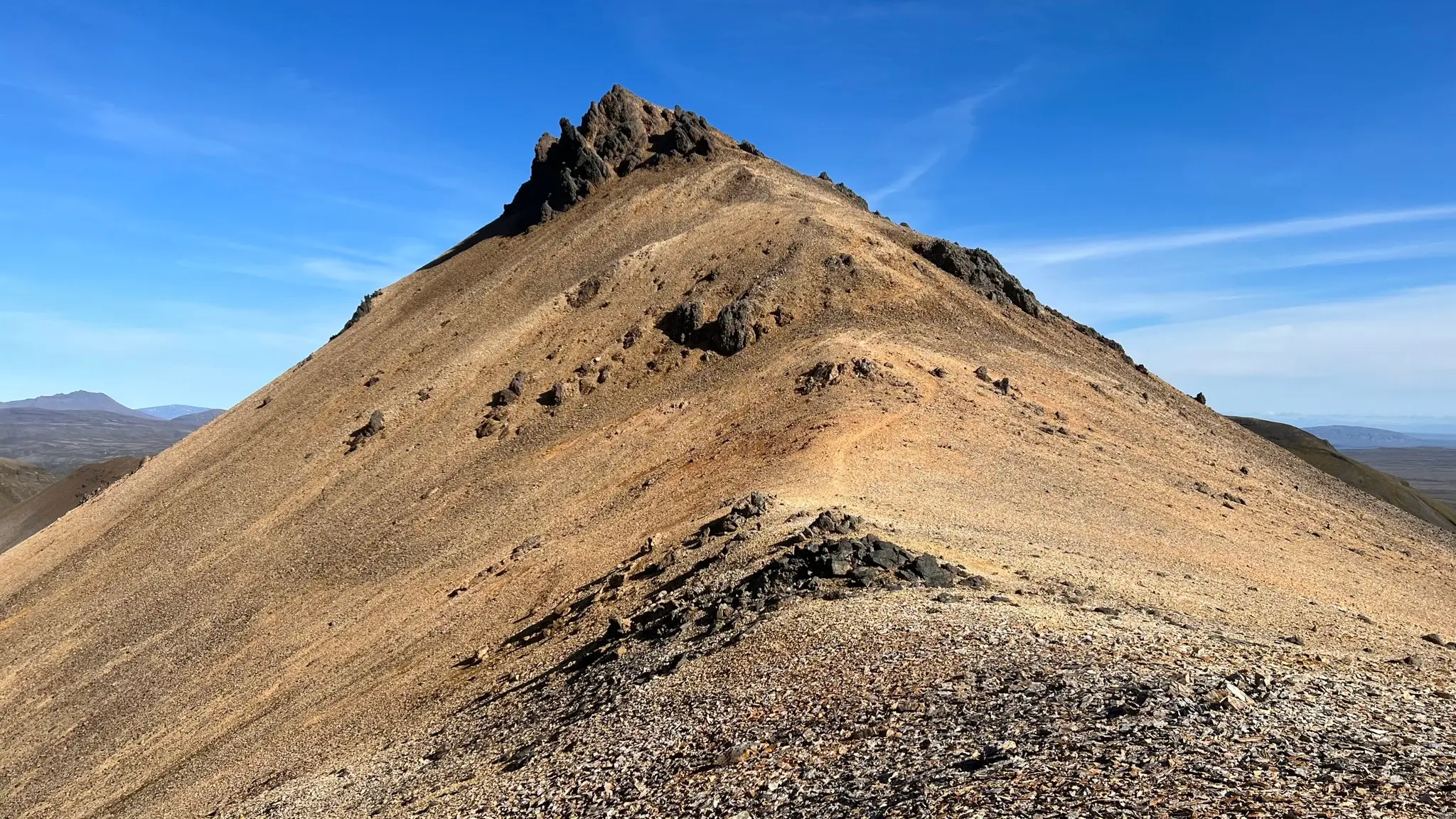
At about 3.1km from the start and about 700m a.s.l. you will reach a saddle between the two easternmost peaks. The Mars-like terrain now dominates in all directions. Turn right to summit the first peak of the day.
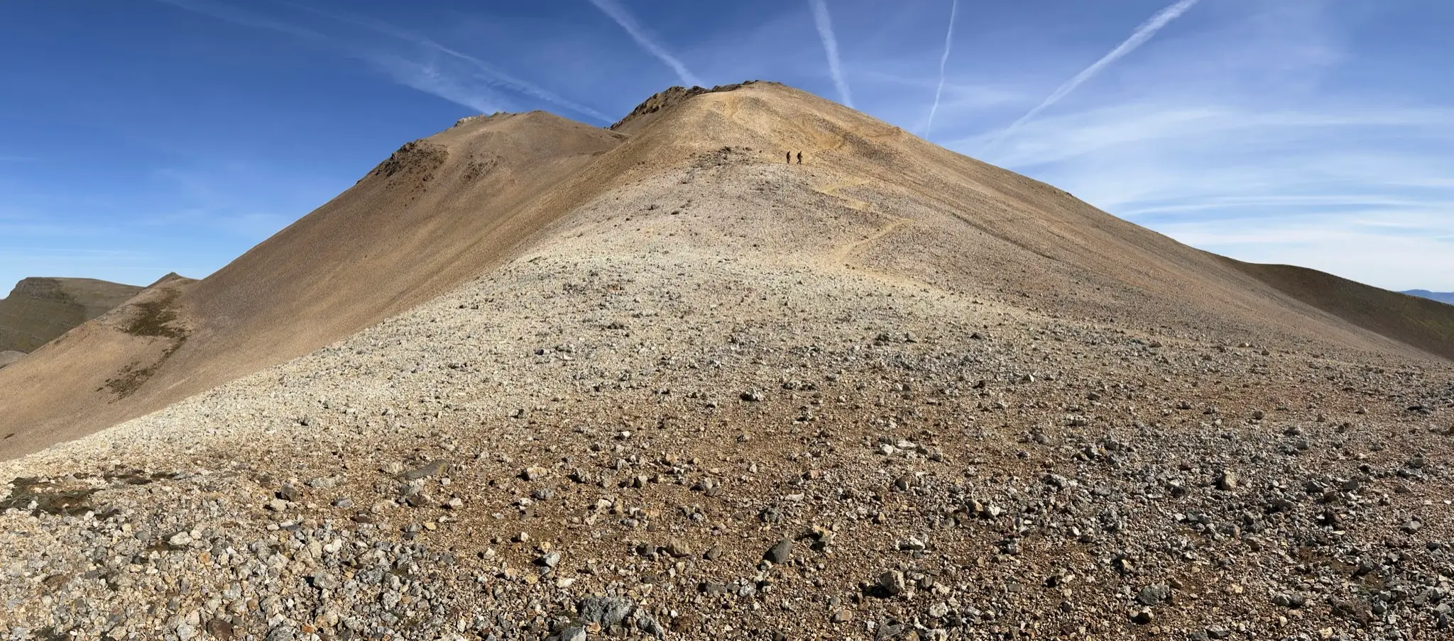
The incline is steeper here and the trail is more eroded. As you approach the summit, rock outcrops pop up from under the rubble and dirt, increasing the out-of-this-world feeling of this area.
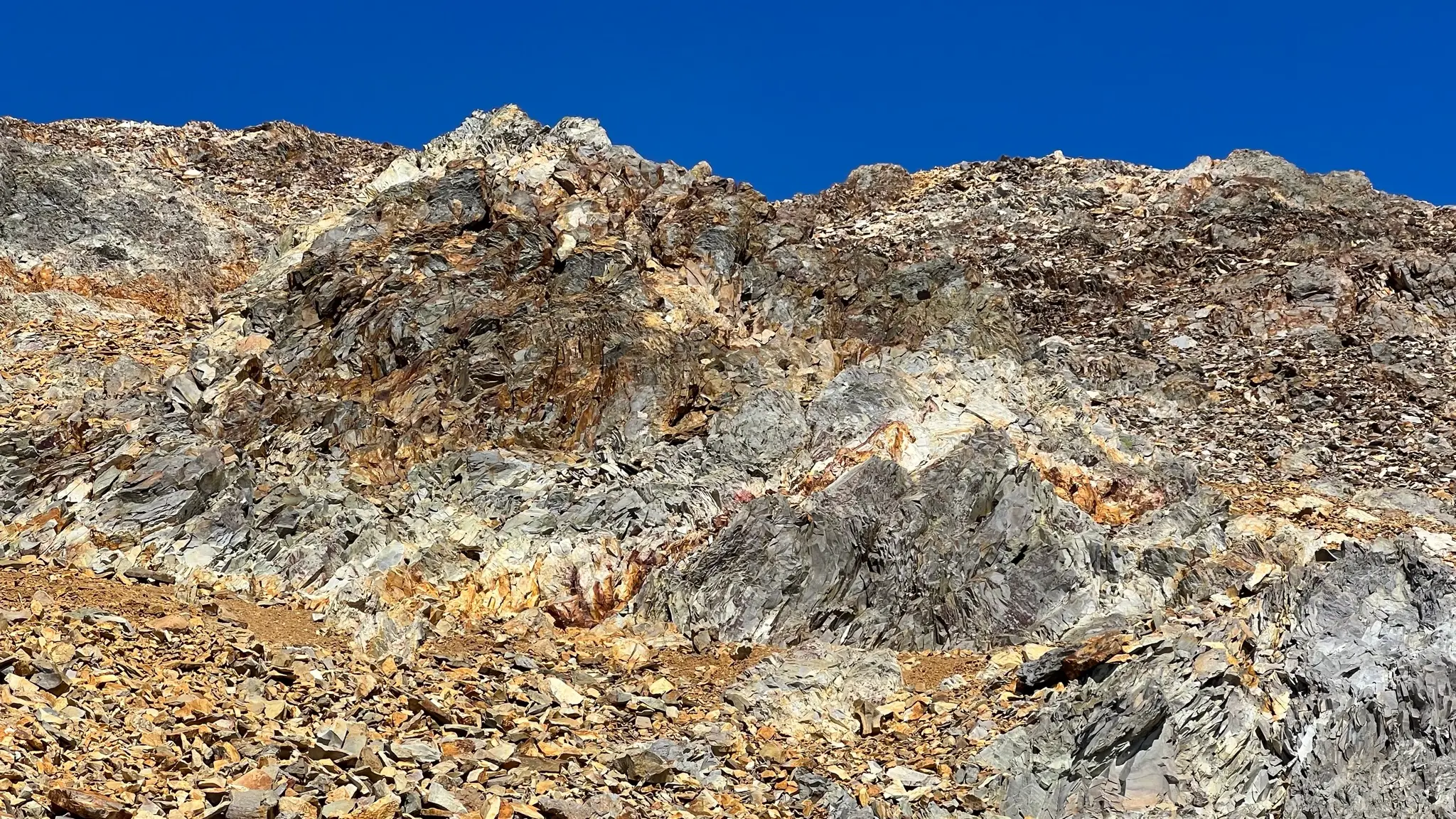
You will reach the narrow summit area at around 3.5km. At 807m a.s.l. and quite prominent, the peak offers sweeping views all around. To the west the landscape is dominated by the rest of the Esja range, cut by deep, long glacial valleys, especially on the north side.
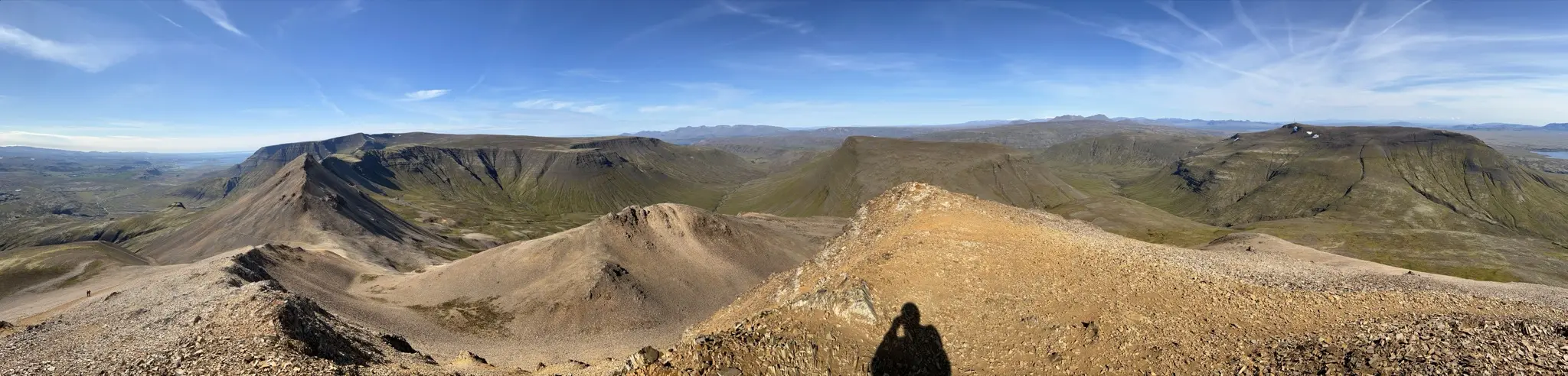
To the south-east you can spy the Hengill range, while to the south-west you’ll get a good aerial glimpse of Reykjavík and its suburbs.
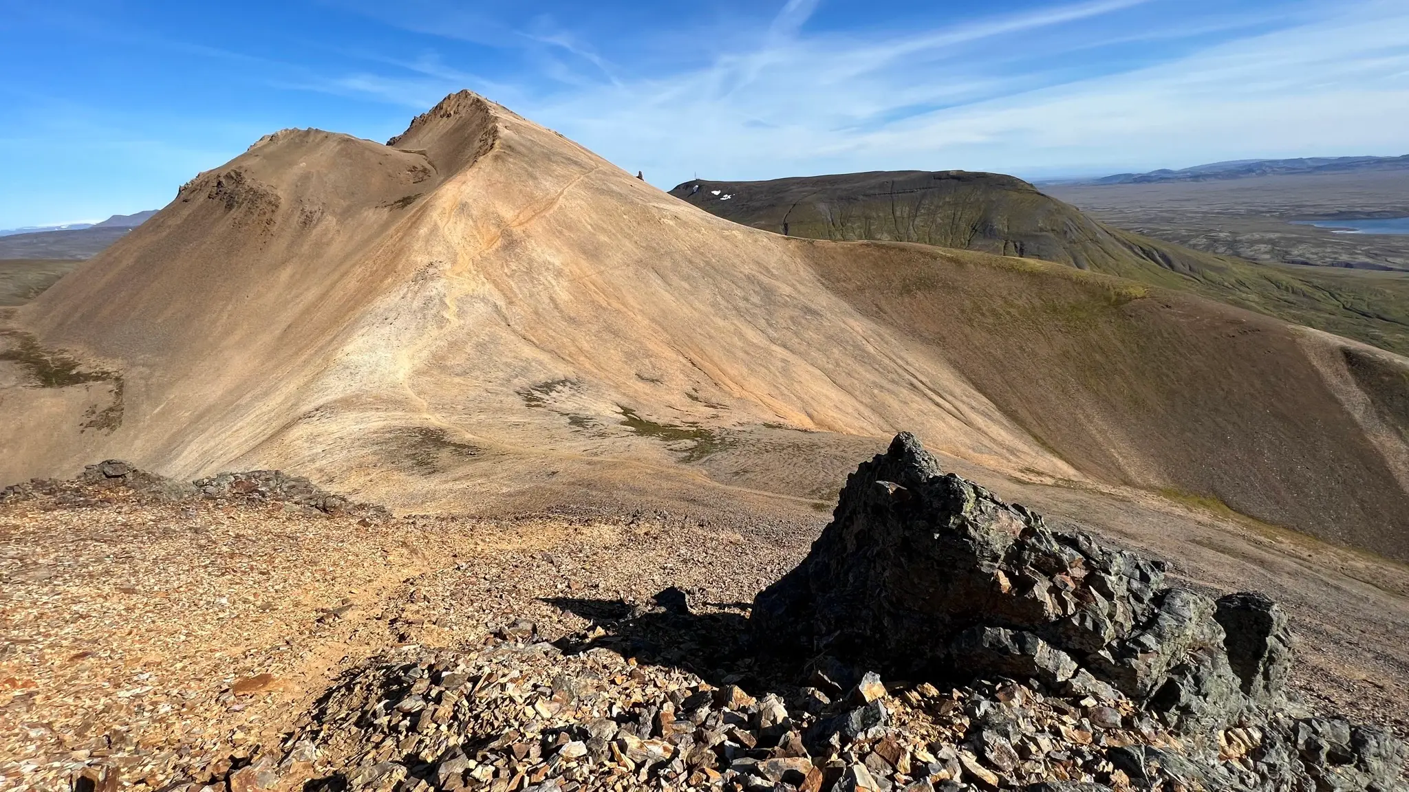
When you are ready to move on backtrack to the saddle but instead of taking the same path back, continue westward towards the next peak of the ridge. The middle peak is covered with darker rubble and the unmarked trail leading to it is not as well defined as the ascent path. Keep to the left of the ridge to avoid the outcrops. The ascent is a bit steep but fairly short with a section or two requiring minor scrambling.
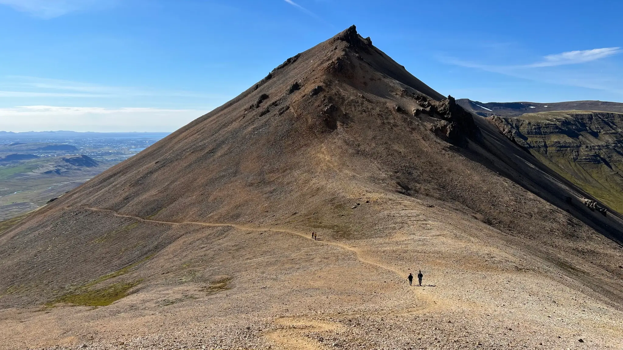
As you approach the middle summit there are flat areas near the ridge where you can stop and take in the view.
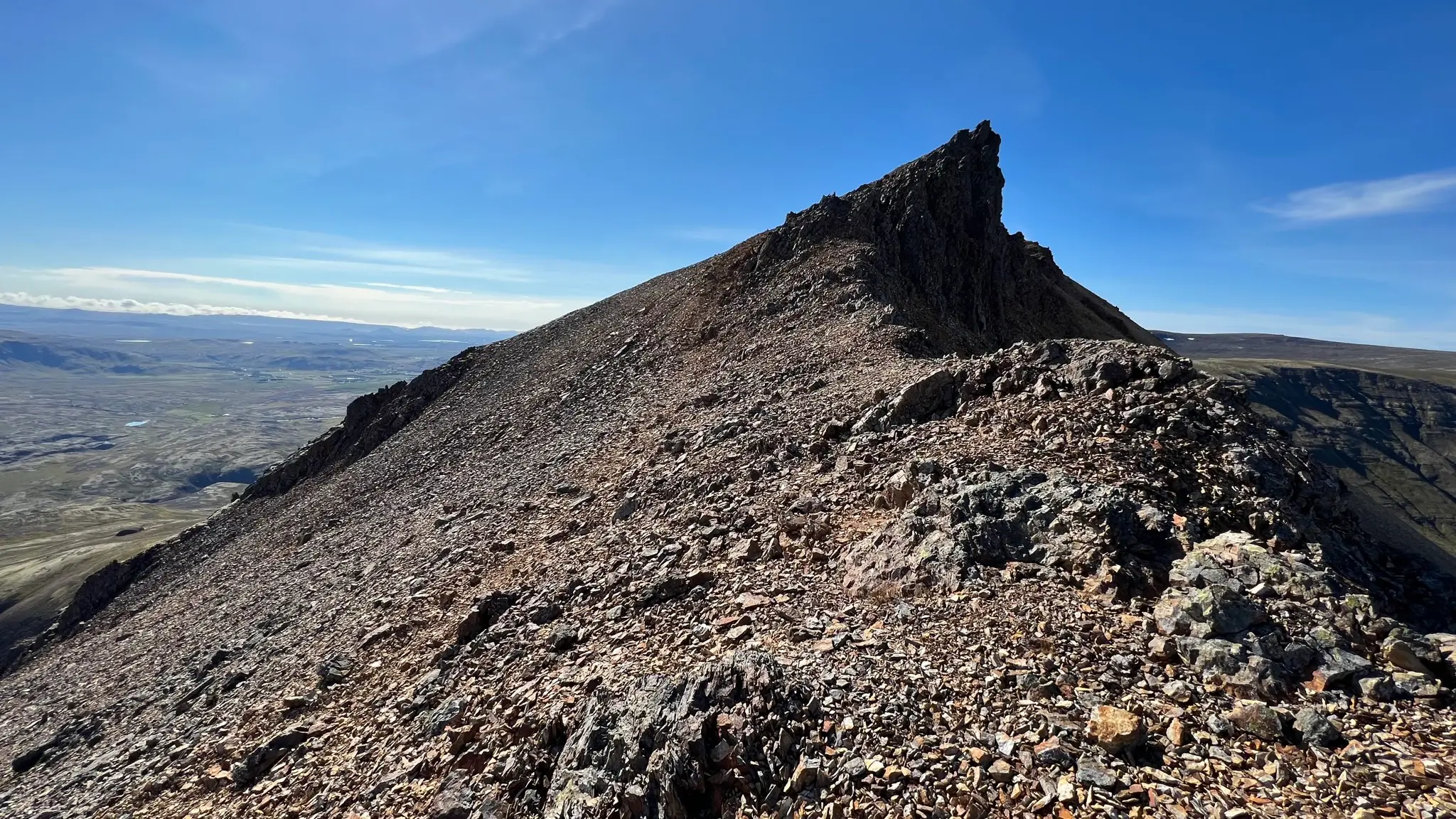
Looking back to the east you will get a different perspective over the easternmost summit. To the left of the peak a lower hump looks like the eroded remains of an ancient land slide.
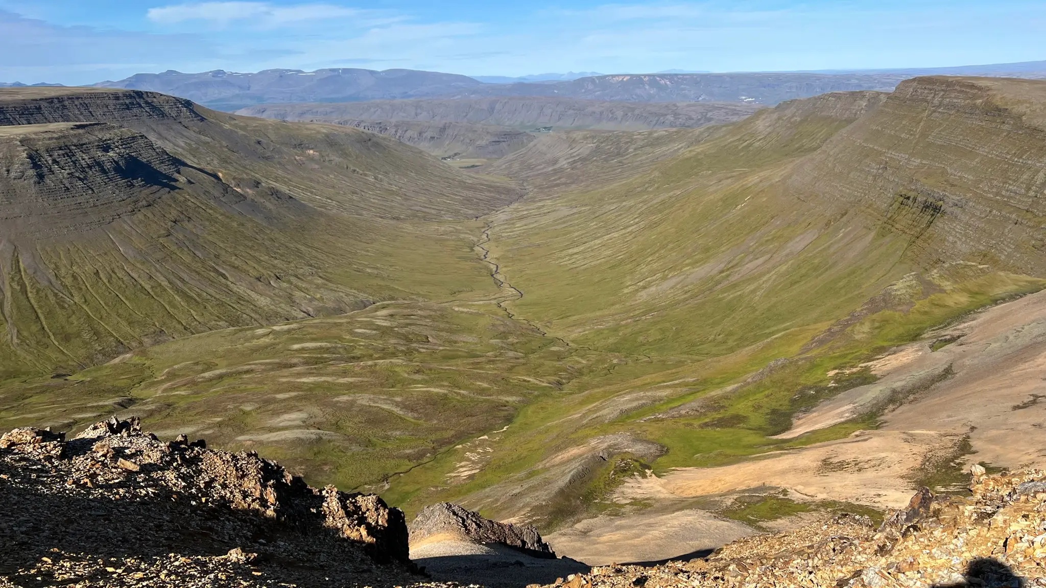
To the north a vast glacial valley, Eyjadalur, opens up views towards the Meðalfell and Reynivallaháls ranges south of Hvalfjörður, and beyond.
When descending from the middle peak stay to the south of the ridge to avoid the rock outcrops. The unmarked path is well defined and navigation should not be a problem even in misty conditions.
The ridge walk continues with a series of depressions and smaller peaks. The rock composition gradually changes to the darker basalt and tuff that is more typical for Esja.
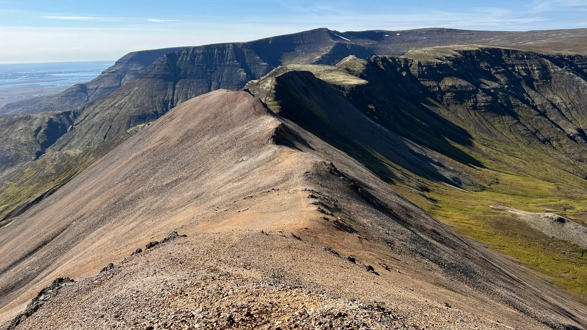
At about 5.5km from the start you will notice an unmarked trail intersection with a path leading downhill to the south. This is the way you will take to return to the parking area, but not before continuing westward for another 200m to explore one more attraction.
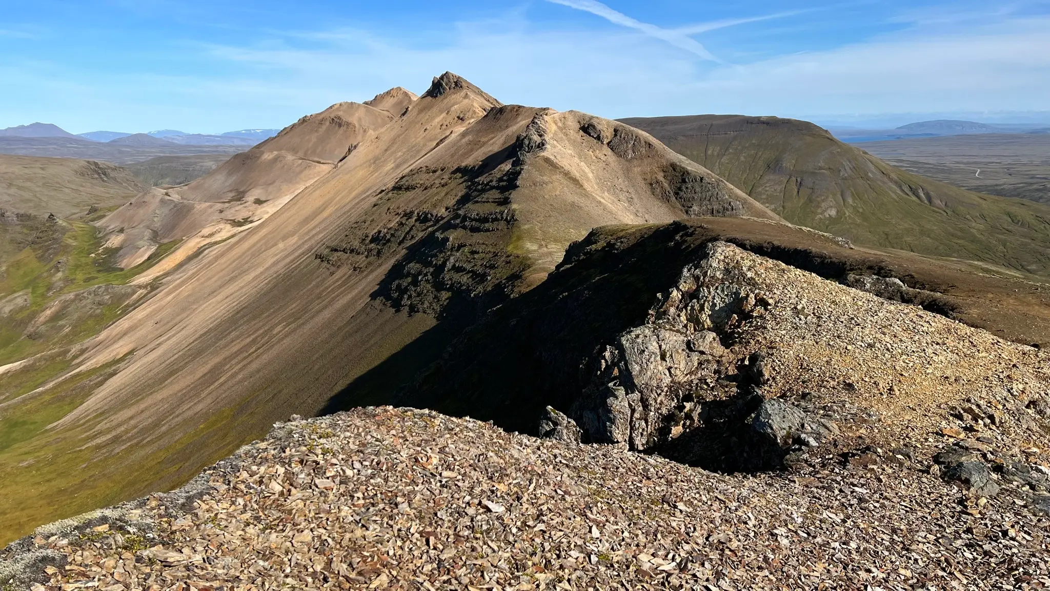
At about 5.7km the ridge narrows and, right below the last significant peak the trail descends into a narrow saddle named Laufskörð.
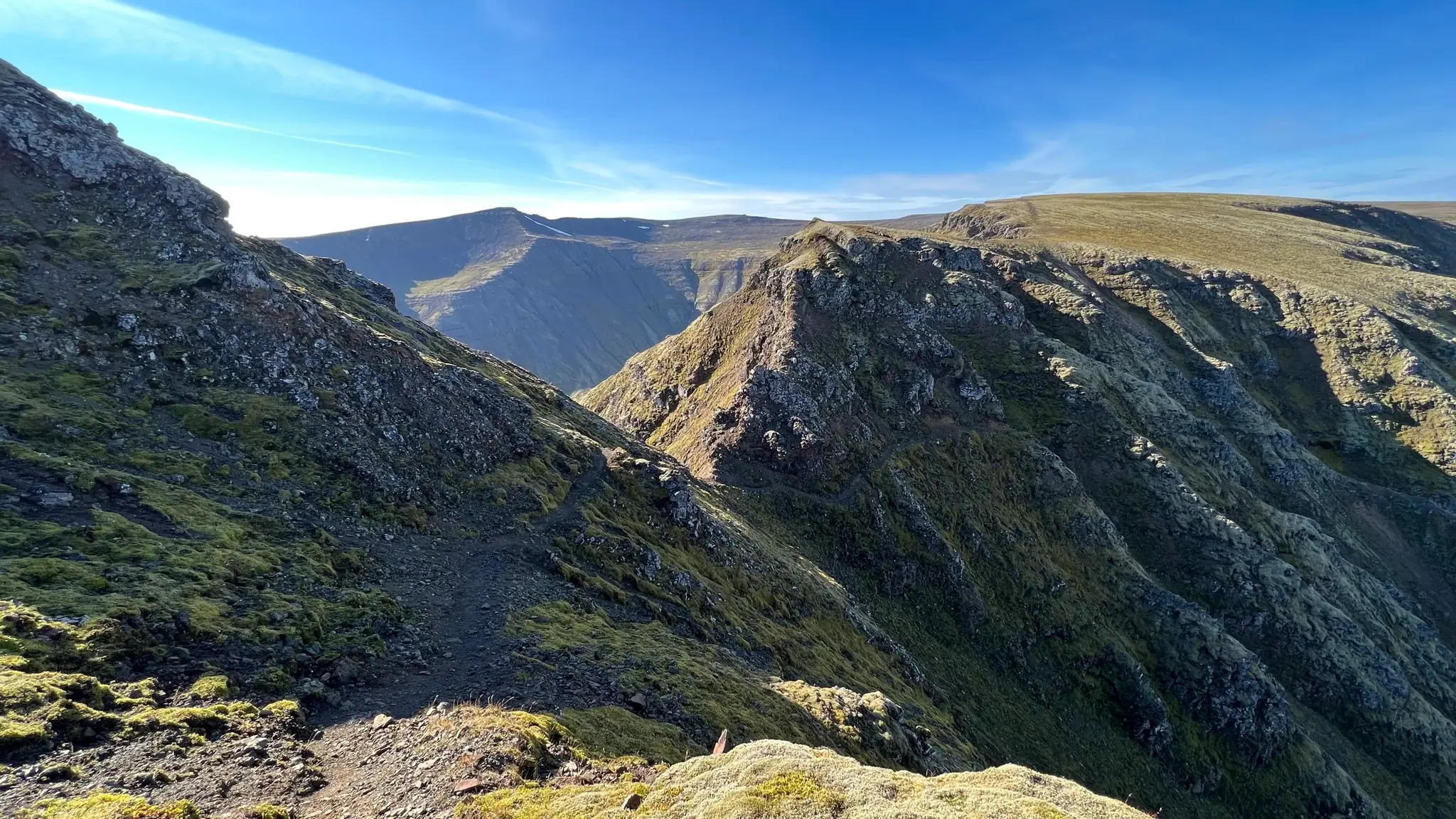
Here, a well defined trail skirts precariously to the right of the ridge, hugging the steep and rocky hillside. Safety chains are available to aid with the more technical passages.
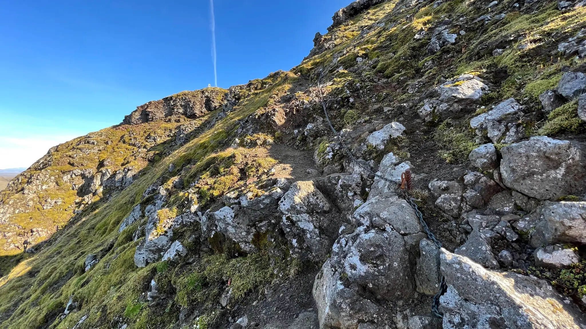
Needless to say, do not attempt to go through Laufskörð if high winds or ice and snow are present. Past Laufskörð the ridge opens up to a wide and featureless high mesa. If you are so inclined you can continue the walk westward, on the edges of a vast glacial valley named Þverárdalur, turning south to summit Hátindur (907m). From Laufskörð to Hátindur you will add another 3km and 200m of altitude gain. Descending from Hátindur directly into the valley will, however, be tricky, with a very steep ravine filled with loose scree being the safest way down. Additionally you will have to walk across fairly difficult pathless terrain at the bottom and cross the rushing Þverá stream to get back to the parking area.
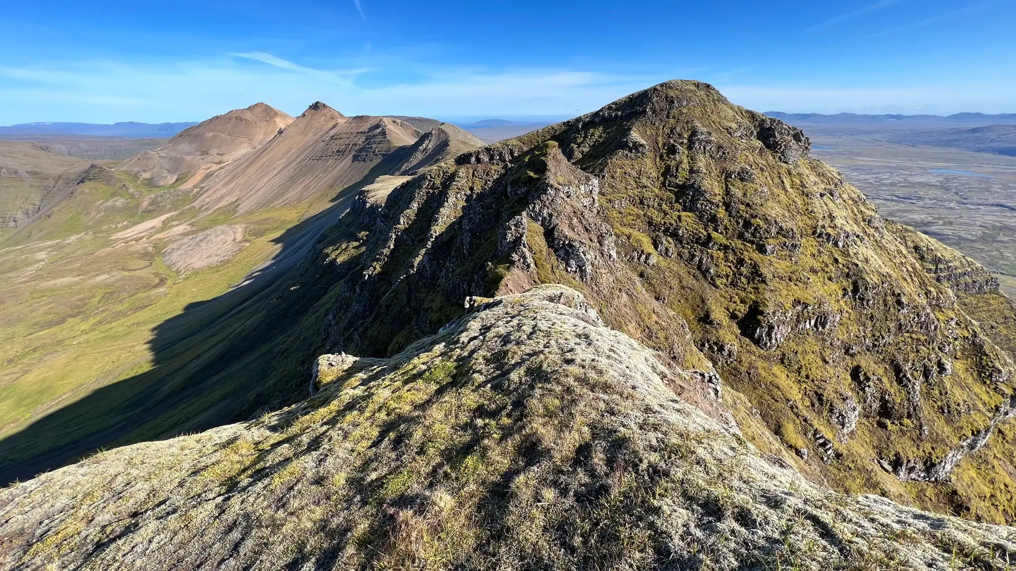
Alternatively, turn back through Laufskörð to the earlier trail intersection and take the path on top of the north-south ridge. The first kilometer features a steep descent followed by a comfortable and scenic walk on top of the Gráhnúkur ridge. At about the 8km mark (470m a.s.l.), the decline steepens. At lower altitudes the path disappears and you will have to use your navigation skills and tools to find your way back to the parking lot.