tuff+moss

ICELAND · 148 TRAILS · FOUR REGIONS

Untouched. Unmarked. Uncrowded.

Field-tested routes through the island’s overlooked corners. Guidebook-grade details, what to watch out for, and the stunning visuals.

Launching 2026 · invitation only.

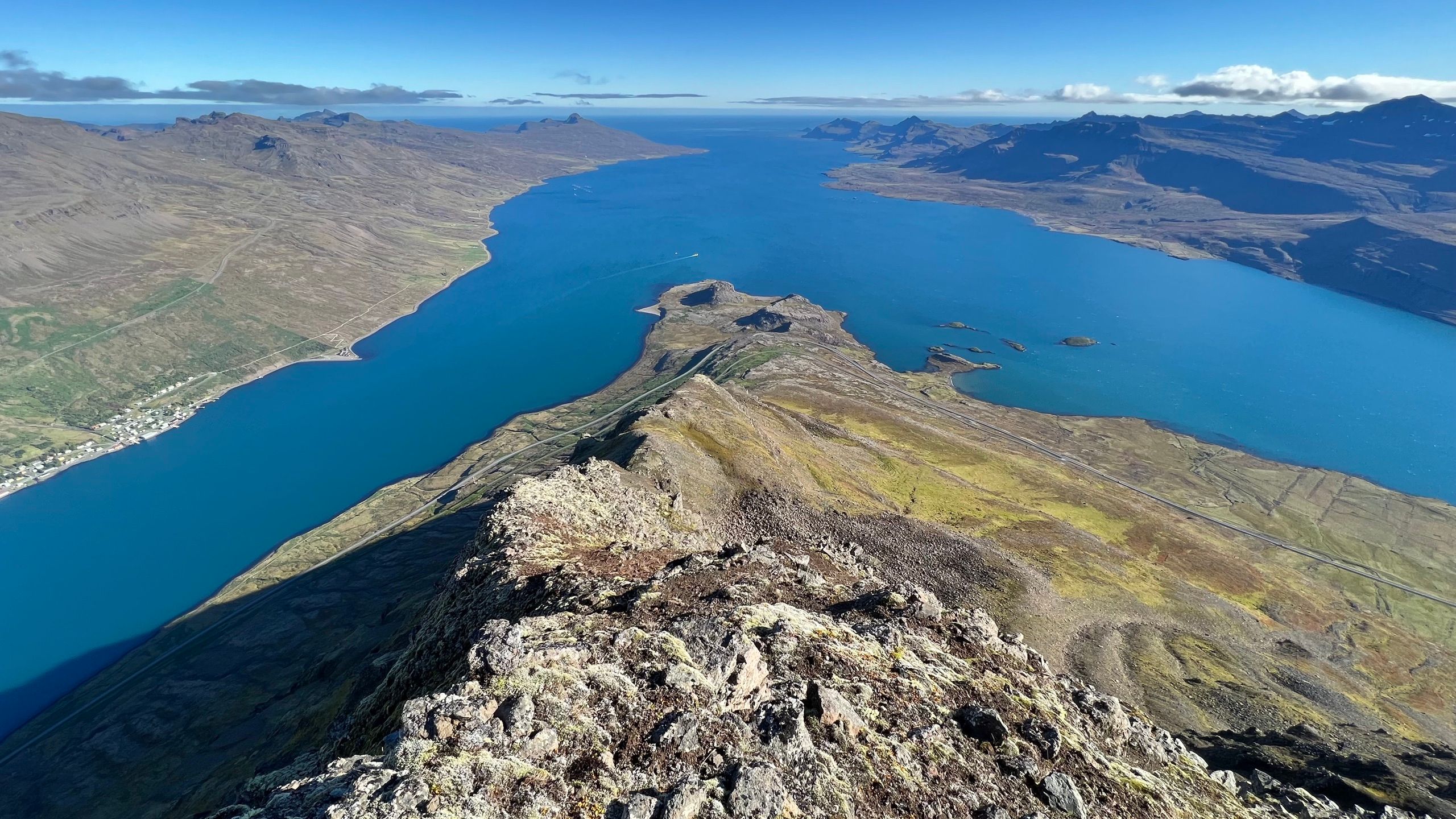
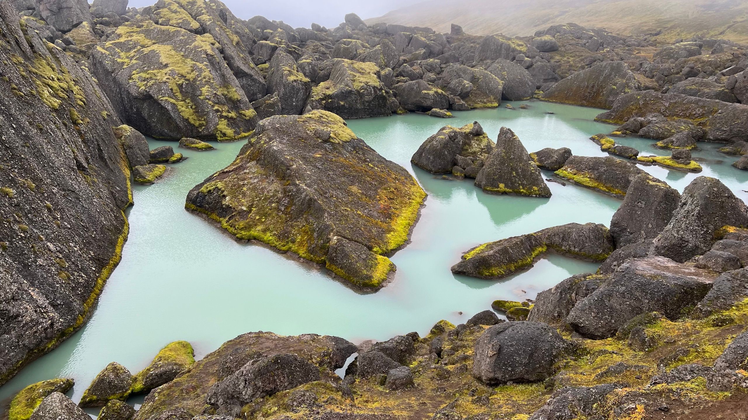
© 2026 TUFFMOSS 65°32′N 13°57′W STÓRURÐ · EAST FJORDS

FEATURED ROUTE · CAPITAL REGION

Móskarðshnjúkar

The Esja the crowds don’t know.

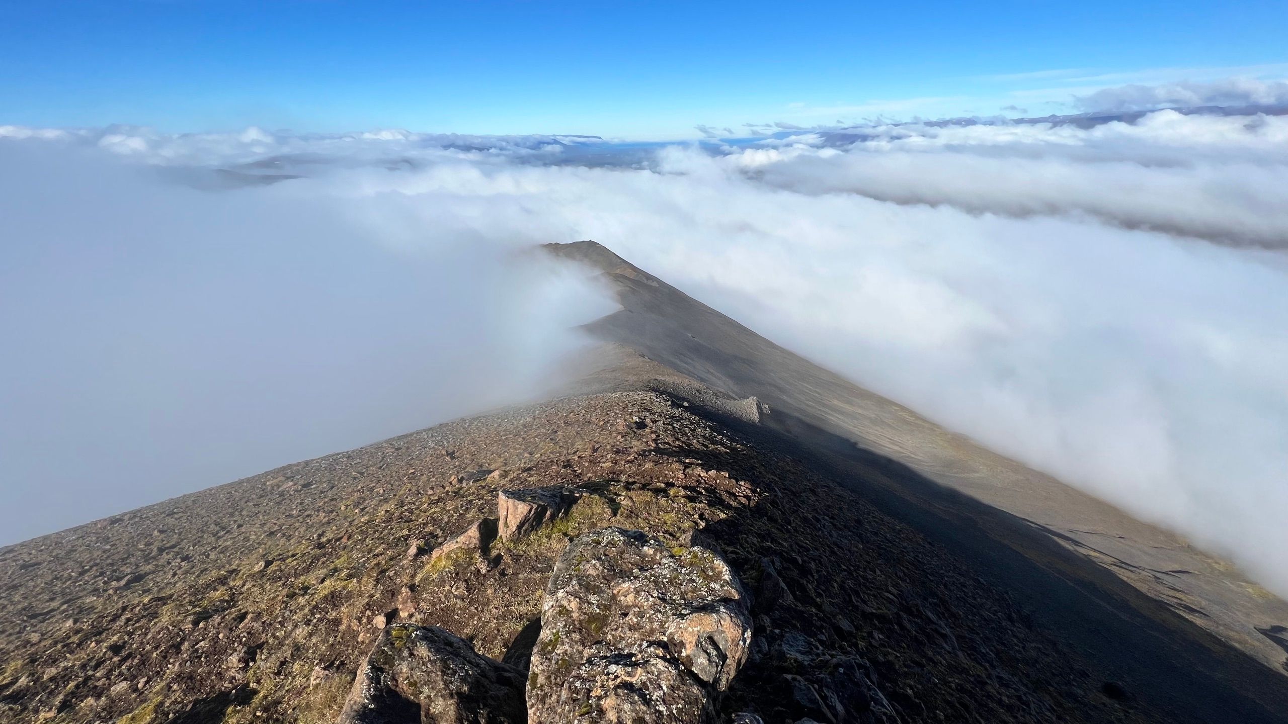
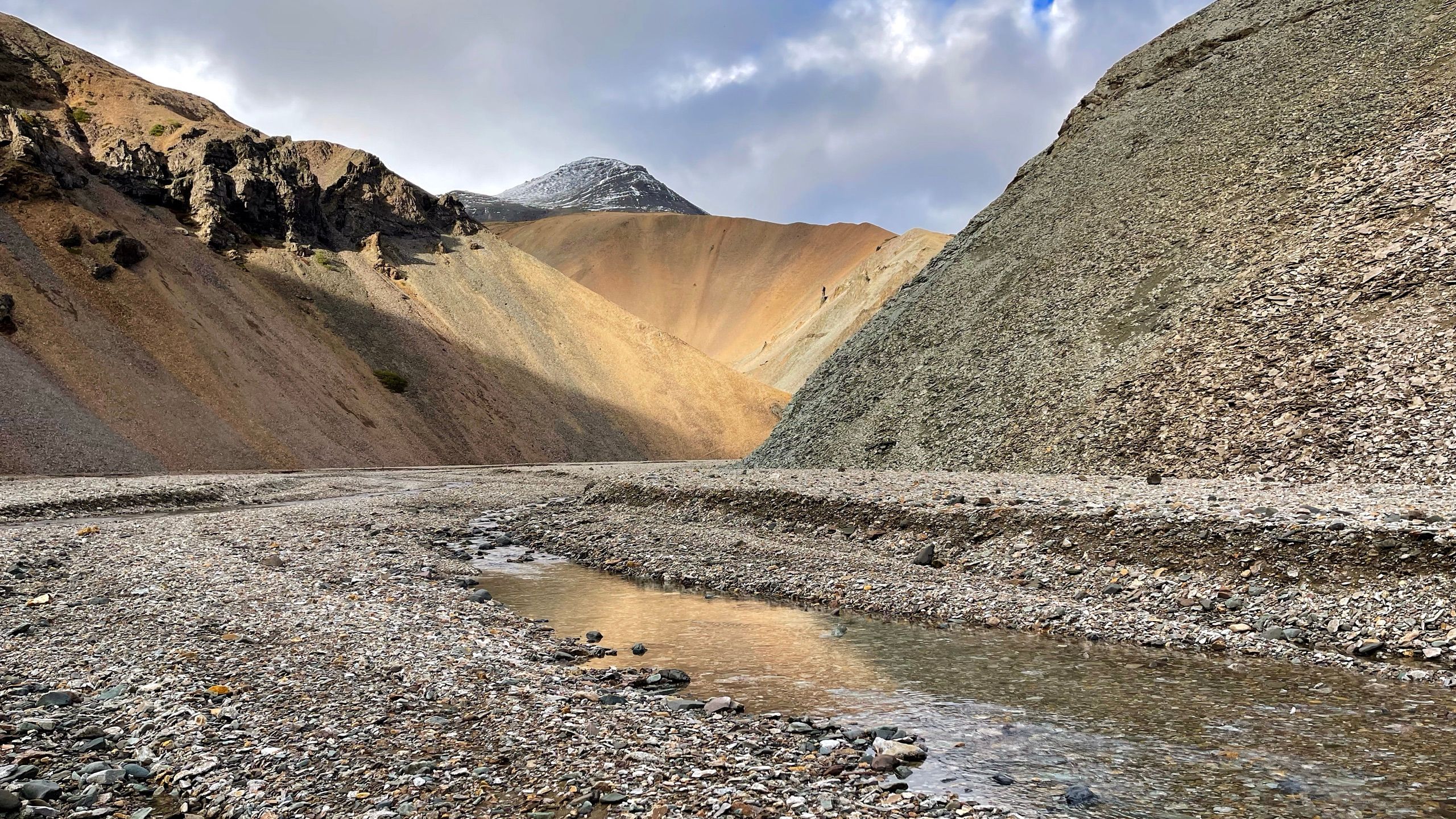
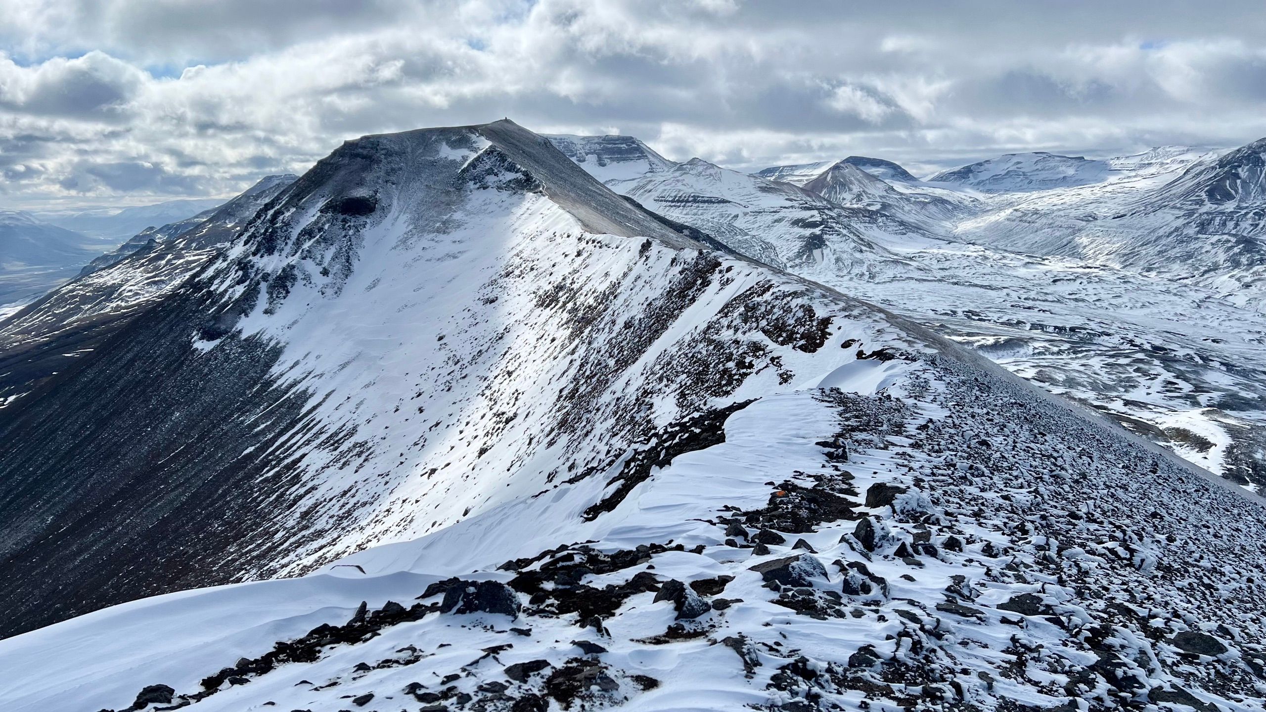
Visible from all across Reykjavík, the peaks at the eastern end of the Esja massif are topped with lighter colored rhyolite rubble giving them a distinct, always sunny look. The ridge walk and the return path are rougher but offer additional thrills away from the crowds.

— from the route notes
LENGTH
9.6 KM
ASCENT
760 M
PEAK
807 M
TIME
5 H
READ THE FULL ROUTE →
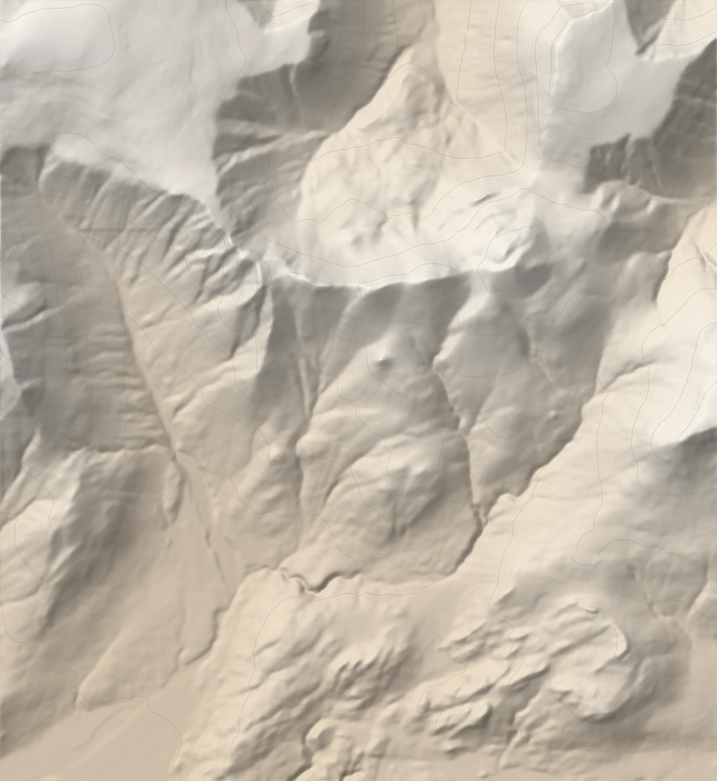
Shaded-relief map of the Móskarðshnjúkar circular hike with the GPS track MÓSKARÐSHNJÚKAR 807 M LAUFSKÖRÐ TRAILHEAD
GPS TRACK AS HIKED · Contours: Copernicus (EU) · SRTM / ArcticDEM courtesy USGS