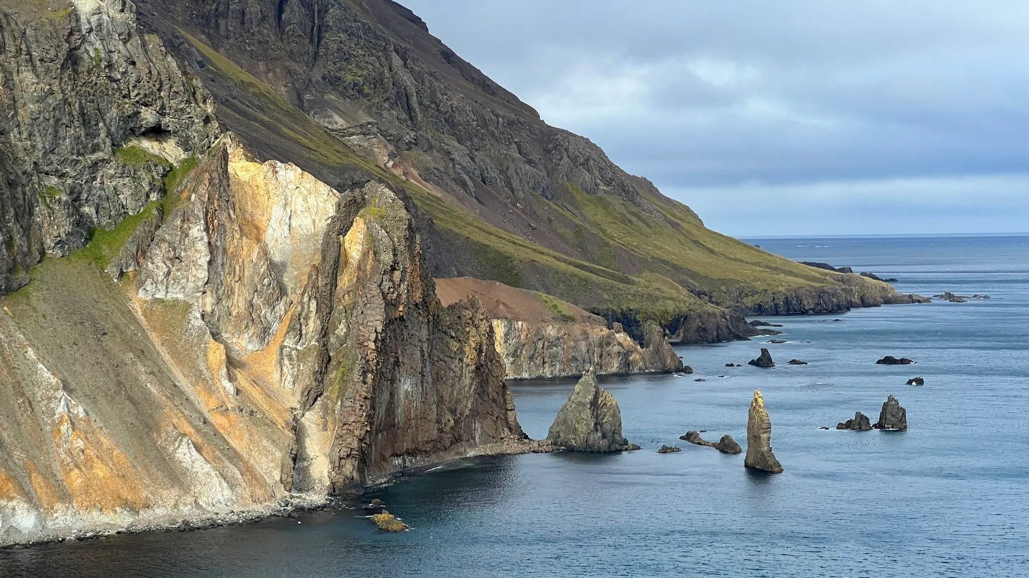
East Iceland · Near 917 mountain pass · Hiked September 2022
Landsendi
Easy shore walk to multicolored sea cliffs
Grade breakdown
- Physical 70 m ascent over 4.7 km
- Navigation Marked, some boggy patches and high grass.
- Technical The position between the mountain range and the ocean is conducive to high winds.
- Time
- 2 h (1.5 h moving)
- Length
- 4.7 km
- Ascent
- 70 m
- High point
- 50 m
- Route
- Out and back
- Season
- All year
- Popularity
- Low
- Hazards
- Boggy
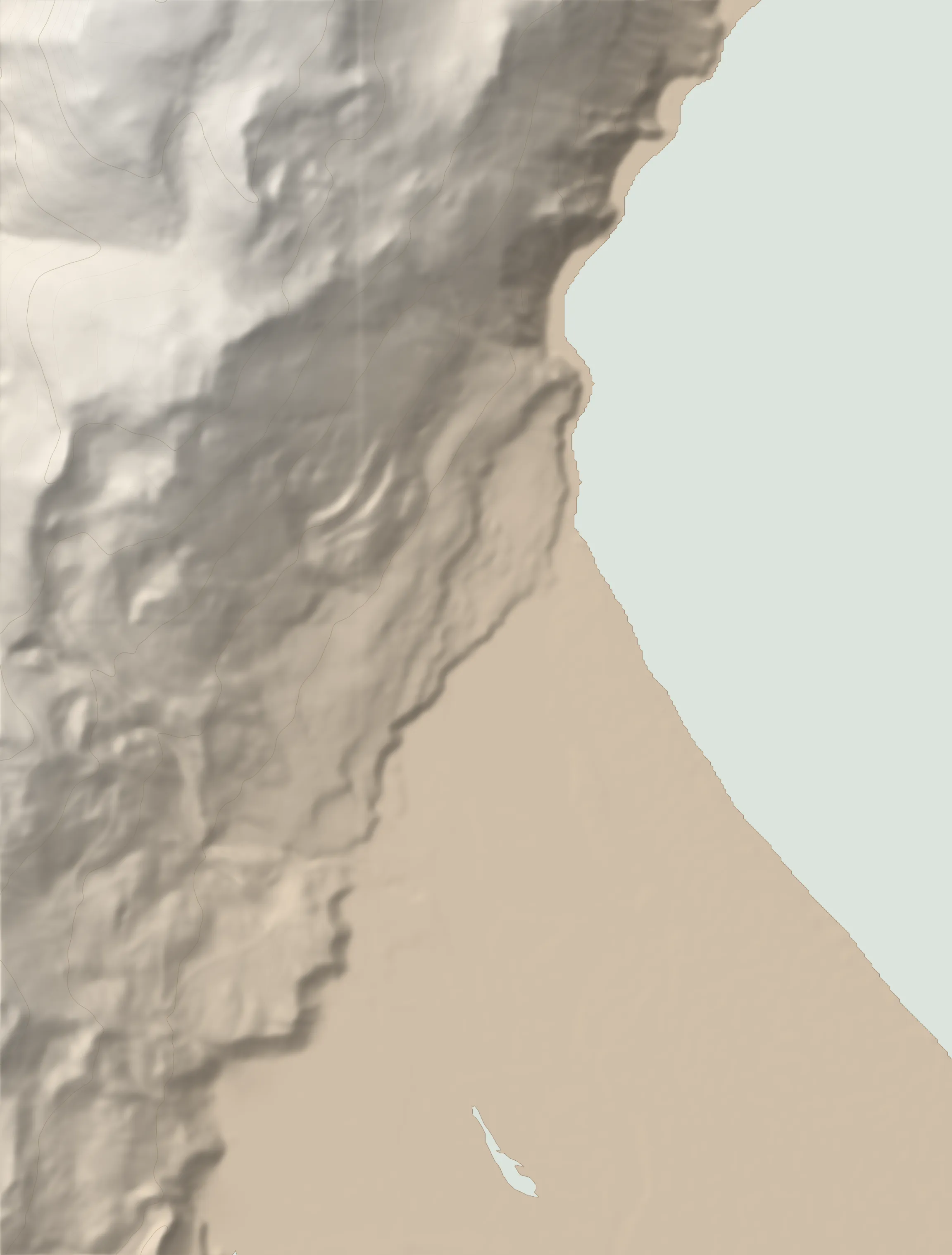 TRAILHEAD LANDSENDI
Overview
Landsendi is a nice leg stretcher for those driving down from the spectacular rt 917 mountain pass (known as the Hellisheiði eystri) in North-East Iceland. As a destination in itself, Landsendi is not worth the long drive to its isolated location. It is also an easier and quicker alternative to Þerribjarg - the nearby hike that starts higher up on the 917 pass and involves a steep descent to sea level.
Landsendi is #27 on the list of ‘hiking pearls’ put together by local hiking club - Ferðafélag Fljótsdalshéraðs. A quick description of the hike can also be found in the club's widely available guide.
The hike generally follows the coastline and is relatively easy and flat. The challenge on this walk is likely going to be the weather. The steep hillsides plunging into the Greenland Sea create the potential for locally bad weather even if conditions are relatively good in the neighboring area.
Photos 14
The route
Full route description 13 paragraphs · 14 photos
From the parking area, go past the two informational panels - one describing the hike and another one providing historical information. The first part of the trail (0.25km) goes along a rough gravel road leading to a private cabin.
Ahead, the steep slopes of the Smjörfjöll range plunge precipitously into the Greenland Sea.
The gravel road ends at the cabin, but the trail continues right below the cliff line, avoiding the marshy lowland to the right.
Around the 1km mark the trail climbs up from the sea level right before a small cape marked by a sea stack. A small pebbly beach is yours for exploring.
The trail is now closely following along the coastline through occasionally marshy areas and high grass. A few stream crossings are heavily eroded.
At the 1.4km mark an information panel (Icelandic only) details the story of the (abandoned) settlement’s most notorious inhabitant - Jón the Learned (Jón lærði Guðmundsson) - an alleged sorcerer from the 17th century exiled here from the West Fjords.
At around the 1.7km mark the trail heads north, near the mouth of the Fögruhlíðará river. Ahead, the steep rocky hillsides are drawing closer.
On the east side, across the vast sandy plains of Héraðssandar, you can just see the mountainous silhouette of the Víknaslóðir area.
At the 2km mark, a small inlet called Ker features a wide black sand beach, which used to serve as a landing place for fishing vessels.
The inlet ends with a photogenic albeit small sea bridge.
The end point of the hike is at the 2.3km mark from the start where the coastal plain abruptly ends in a jumble of rhyolite-clad cliffs and sea stacks.
To get a better view, climb the slope to the left, if so inclined. The climb is short but steep and the crumbly rocks underfoot require attention.
To return, retrace your steps. If desired, several other beaches with black sand are accessible along the way.
Logistics
- Directions
-
From Egilsstaðir, drive west on route 1, then turn right on route 917. Continue for 33km. Note that the road turns to gravel shortly after leaving the Ring Road. This winding gravel road is the steepest mountain pass road in Iceland with inclines of near 15%. While it can be tackled with a 2WD car, it requires the utmost attention on its numerous hairpin turns. From the roadside rest areas you will be rewarded with expansive views over the Vopnafjörður bay to the west and the wide Héraðssandar plains to the east.
- Parking
-
Small parking area on the side of the road, flanked by trail description panels.
- Equipment
-
Sturdy boots (backpacking or light mountaineering) are recommended. Hiking poles recommended for balance. Insect net recommended in summer at lower altitudes in warm weather.
181 MORE ROUTES ARE ON THE WAY
Walk the rest of the island with us.
Conditions in Iceland change fast - check safetravel.is before you go, and read our terms: you hike at your own risk.