Einhyrningur ridge-end viewpoint Extension
From Einhyrningur's summit, continue along the narrow, crumbling ridge to the viewpoint if time and conditions allow, then return the same way. No hands are needed.
Northwest Iceland · Near Sauðárkrókur · Hiked September 2026
Dramatic cliffs above Skagafjörður, with an optional narrow ridge
 TINDASTÓLL 997 M TRAILHEAD
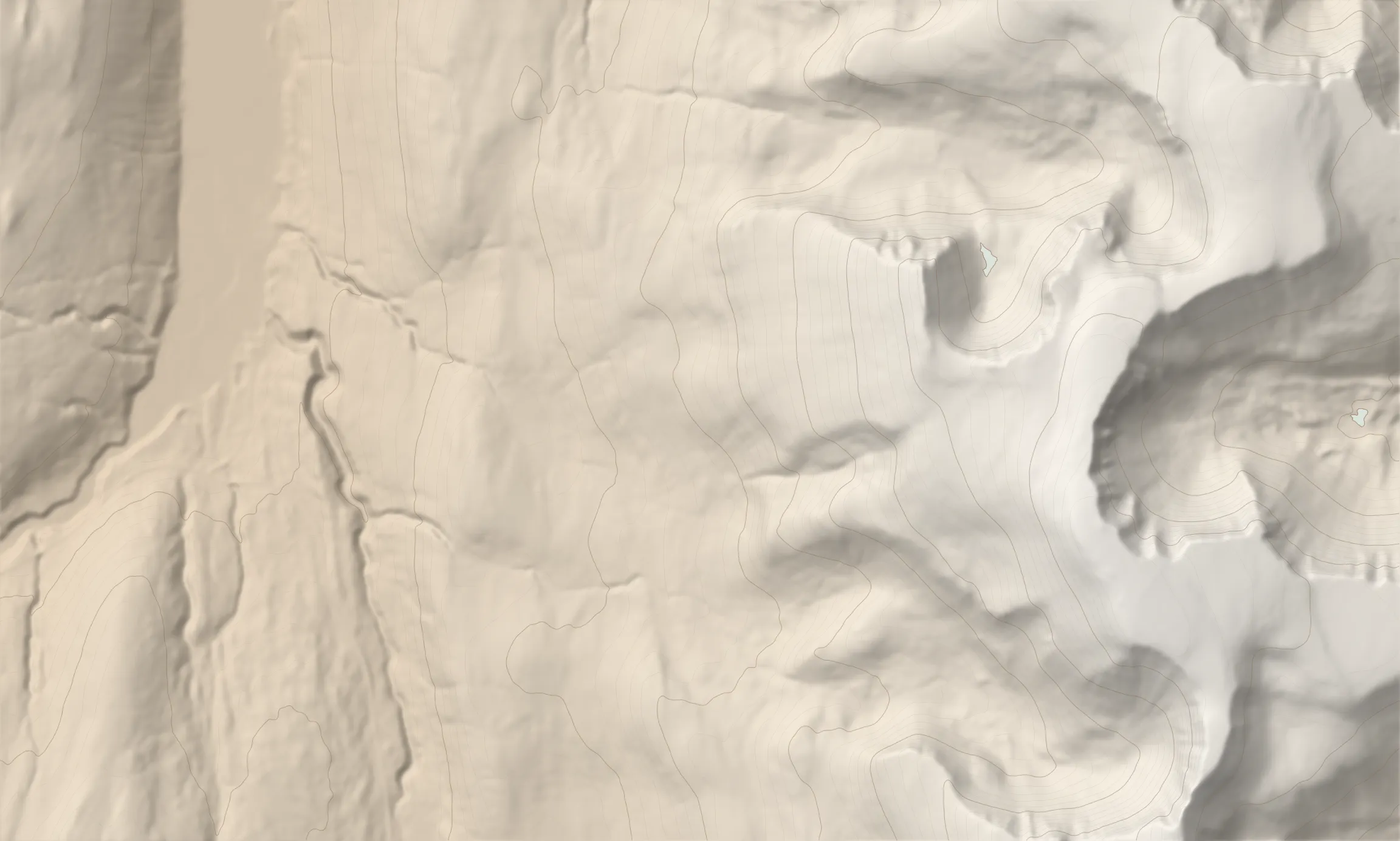
Tindastóll is a 20km range bordering the western side of Skagafjörður in north-west Iceland. The mountain is mostly dark basalt, with lighter rhyolite visible in the slopes. It bordered a volcanic centre 8-9 million years ago, and ice-age glaciers from about 3 million years ago carved its valleys and ridges. This route is a worthy alternative to the better known (and gentler) southern route, letting you discover a different part of the range. It climbs from the Grímsá culvert in Laxárdalur, crossing tussocky moorland and streams before the long, steep ascent to the rocky summit plateau. We reached the cairn on the plateau in about three hours and a quarter. From there, follow the eastern rim north for views of the cirque, Drangey and Tröllaskagi across the fjord. On the descent, Einhyrningur offers an optional continuation along a narrow ridge of crumbling, slate-like rock. The descent rejoins the ascent line for the return to the road. There are no waymarks, and the loose rock and rough plateau make this a demanding walk.
0.0–0.2 km · climb, heading ESE · 40 → 61 m (14%)
Head east on a fairly well-defined path.
Leave the path, jump a fence and continue ESE. 0.1 km
0.2–1.3 km · steep climb, heading ESE · 61 → 243 m (16%)
Terrain Tussocky moorland, with low shrubs and moss.
View To the right, a deep canyon and a waterfall. 0.3 km
As you approach the waterfalls, aim for the right bank, which you follow for the next kilometre or so. 0.9 km
1.3–1.8 km · climb, heading E · 243 → 273 m (6%)
Water crossing · 1.4 km · 250 m
Cross the stream.
At some point across the moorland you can follow an old 4x4 track that has since been reclaimed by nature.
1.8–5.1 km · steep climb, heading E · 273 → 956 m (20%)
Cross another small stream. 2.1 km
At about 390 m the slope gets steeper and the climb starts in earnest. 2.5 km
Terrain Mostly firm underfoot (grass, moss, rock), with some unsettled rock higher up.
Start heading south across the rocky, flat-topped plateau. 4.6 km
Start the final ascent to the top. 4.8 km
5.1–5.8 km · climb, heading SSE · 956 → 997 m (7%)
Terrain The top plateau is featureless, rocky and hard to walk.
5.8–6.2 km · level, heading N · 997 → 990 m (-1%)
View Cloud hid the view when we reached the summit; as it cleared, a sea of cloud lay below the plateau edge.
Cairn · 5.8 km · 997 m · high point
A cairn marks the top, about 3 h 15 min and 960 m of climbing from the start.
On the return, explore the eastern rim of the mountain.
Viewpoint · 6.2 km · 987 m
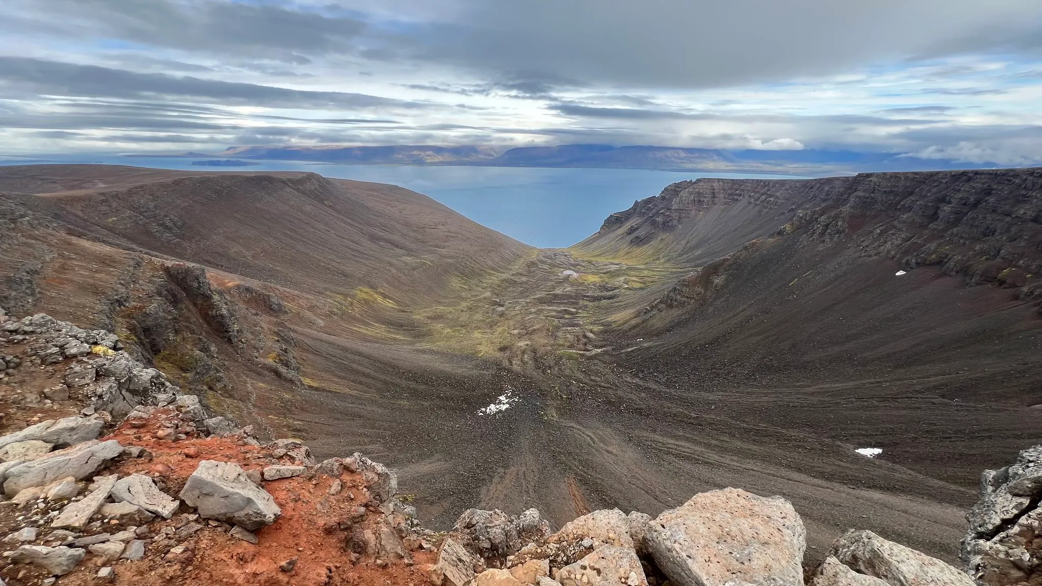
View The eastern rim is quite spectacular, with a corrie bowl opening onto Skagafjörður and Tröllaskagi across the fjord. 6.2 km
6.2–6.9 km · descent, heading N · 990 → 951 m (-6%)
Terrain Lichen-crusted gravel and loose blocks reach the lip of sheer cliffs, with room to stay back from the edge.
Viewpoint · 6.4 km · 978 m
View Tiered cliffs fall towards Skagafjörður, with Tröllaskagi across the fjord. 6.4 km
Viewpoint · 6.7 km · 954 m
View The whole cirque comes into view, with both cliff walls and a snow-patched floor opening onto the fjord. 6.7 km
View Drangey in the fjord. 6.7 km
6.9–7.4 km · steep descent, heading WNW · 951 → 879 m (-16%)
Terrain Large blocky boulders, then an open, loose stony slope.
View Miðtindur, the horned peak at the north end of Tindastóll, rises through the cloud to the north-north-west. 7.0 km
Scree · 7.1 km · 907 m
The footing becomes loose and stony below the boulders. 7.1 km
7.4–8.6 km · level, heading NW · 879 → 845 m (-3%)
Explore Einhyrningur on the way back if time and conditions allow.
Summit · 8.2 km · 847 m
Hazard Einhyrningur's ridge is narrow and its slate-like rock crumbles, although no hands are needed; walking it is an exhilarating experience.
Viewpoint · 8.4 km · 847 m
View Miðtindur (789 m), the horned peak at the north end of Tindastóll, across the valley to the north.
The ridge is walked out and back; the track turns at the viewpoint and returns south along the ridge before the descent.
8.6–11.0 km · steep descent, heading WSW · 845 → 274 m (-24%)
Terrain Mossy, stony slopes give way to grass and moss with small gullies, then tussocky heath.
The descent rejoins the ascent line; from here, return via the same path. 9.4 km
11.0–11.5 km · descent, heading W · 274 → 248 m (-5%)
Water crossing · 11.3 km · 253 m
The stream, recrossed about 120 m from the ascent crossing. 11.3 km
11.5–12.7 km · steep descent, heading WNW · 248 → 36 m (-17%)
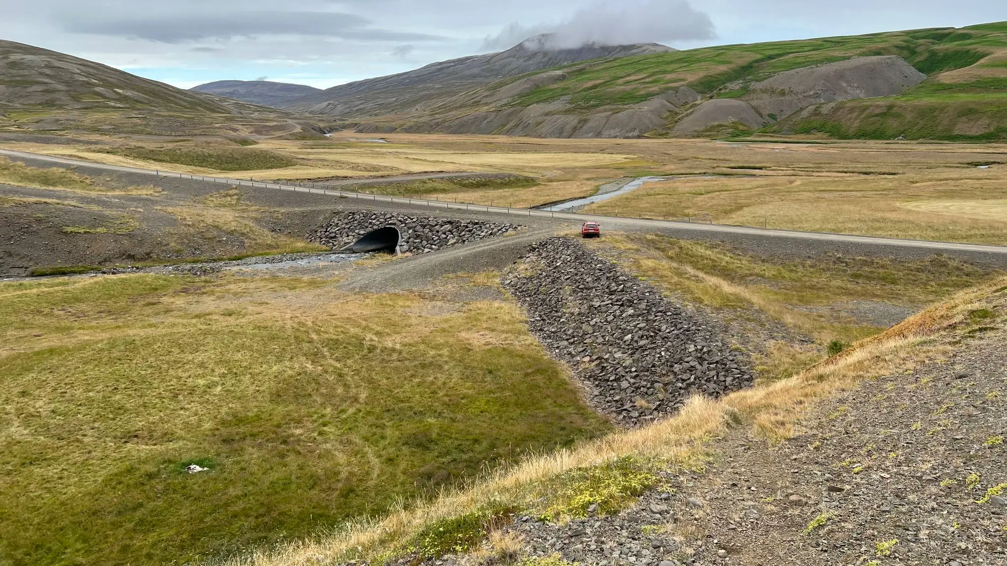
Follow Skagavegur (road 745) through Laxárdalur to the culvert where Grímsá passes under the road. The route starts beside the culvert.
Park near the Grímsá culvert on road 745; accessible by ordinary car.
None
181 MORE ROUTES ARE ON THE WAY
Conditions in Iceland change fast - check safetravel.is before you go, and read our terms: you hike at your own risk.