Ránargil canyon loop Also walked
Share the ascent, then carry on across the plateau and descend into Ránargil for the coloured canyon walls and waterfall. This longer outing includes unmarked ground and several stream crossings.
West Iceland · Laugar í Sælingsdal, Dalabyggð · Hiked September 2026
Short marked loop over Hólafjall, down a quieter line of moraine mounds to the hot pot
Winter needs a conditions check first.
Not busy; the marked descent sees much less traffic than the main path up.
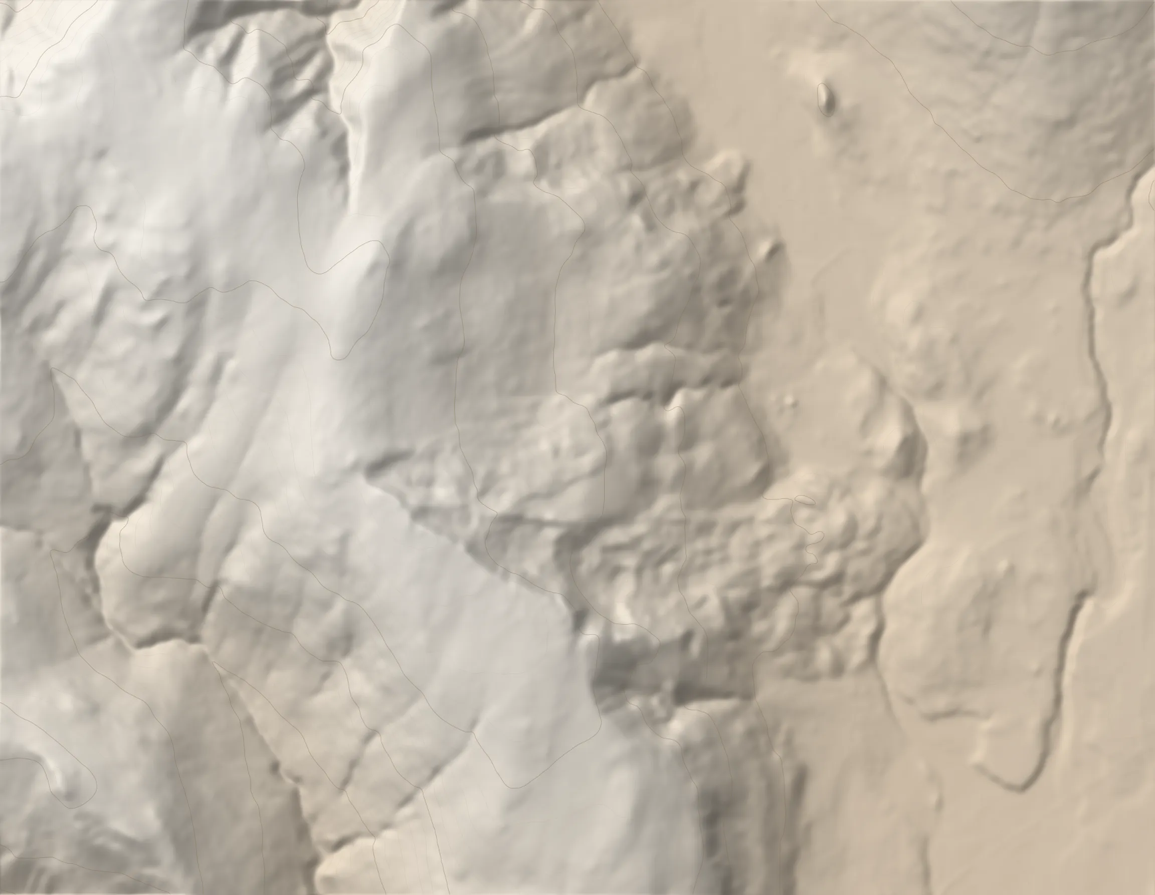 HÓLAFJALL 491 M TRAILHEAD
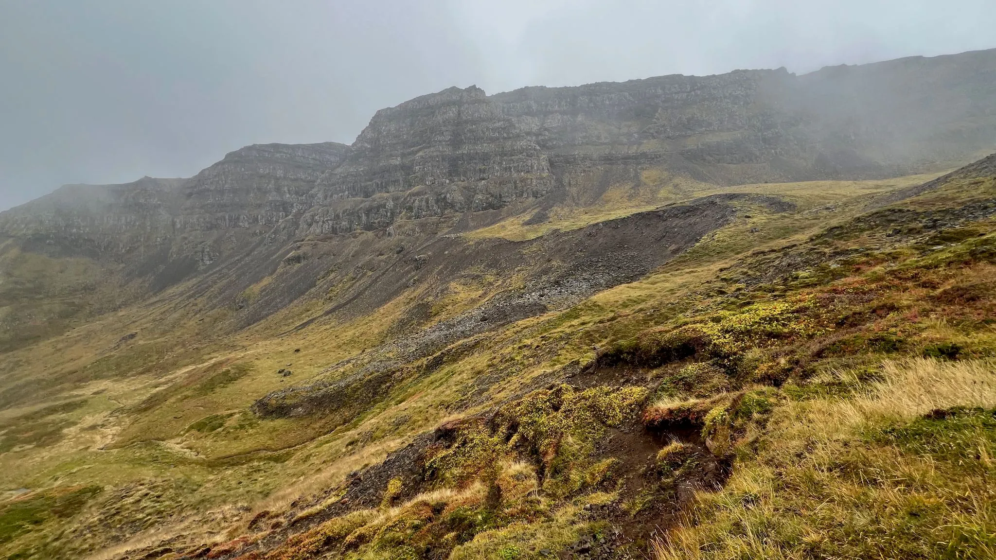
Laugar í Sælingsdal lies in a grassy valley among low mountains at the head of Hvammsfjörður, with hot springs beneath the hillside. This short loop climbs from the hotel and campsite, past Guðrúnarlaug, to Hólafjall's plateau before returning by a quieter, prettier marked path. The ascent is steep but switchbacked, with rocky ground lower down and grass and dirt towards the top. From the plateau, Hvammsfjörður, the inner arm of Breiðafjörður, lies to the south and south-southeast. The descent follows grassy mounds, presumably old moraines, beneath a layered basalt wall, then drops more steeply towards the hotel. Both halves are marked, but sheep paths cross the route and the main path can be faint over rock, so take care to stay on it.
0.0–2.2 km · steep climb, heading WSW · 85 → 491 m (19%)
From the hotel, start towards Guðrúnarlaug and carry on past the hot pot.
Cross the fence by the stile. 0.1 km
Then keep left at the trail intersection. 0.2 km
Terrain Rocky at the lower altitudes, turning to grass and dirt near the top. The climb is switchbacked, and the engineering is what keeps it manageable.
Hazard The path goes faint over the rocky sections. It is easy to pick up a side sheep trail by mistake, or to cut through the switchbacks.
An established trail, marked with stick markers. This is the same ascent as [[holafjall-ranargil]].
View Typical Icelandic views — heather and rolling hills.
Intersection · 2.0 km · 483 m
High point · 2.2 km · 491 m
The top is a plateau with a 4x4 track across it.
View Breiðafjörður, by its inner arm Hvammsfjörður, to the south and south-southeast.
2.2–4.4 km · steep descent, heading ENE · 491 → 77 m (-19%)
From the peak, continue SE for about 200 m to the marker for the descent path. It drops back to the hotel and campsite on a different line from the ascent.
The descent is marked and the trail is obvious, but it meets sheep paths at points; take care to stay on the trail.
Terrain The trail follows a series of mounds, presumably old moraines, running parallel to the rocky wall to the south.
Intersection · 3.1 km · 289 m
The trail leaves the mound to the right here and starts descending more deeply.
The trail veers sharply left, crosses the grade for a little, then drops again. 3.2 km
The trail across the grade carries on past that point and presumably rejoins the ascent path, which would let you return that way instead. It heads in that direction, but we did not follow it through, so the connection is unverified.
Stile (gate) · 4.0 km · 85 m
Cross the stile back into the property, skirt a patch of evergreen trees, then continue north on a level path back to the hotel parking lot.
Head to Laugar í Sælingsdal, north of Búðardalur, and Dalahótel beside the campsite.
At the hotel in Laugar í Sælingsdal.
The hotel, campsite and outdoor swimming pool at Laugar, with a children's pool, hot tubs and a steam bath; Guðrúnarlaug is free.
181 MORE ROUTES ARE ON THE WAY
Conditions in Iceland change fast - check safetravel.is before you go, and read our terms: you hike at your own risk.