Hraunsvatn only Shorter
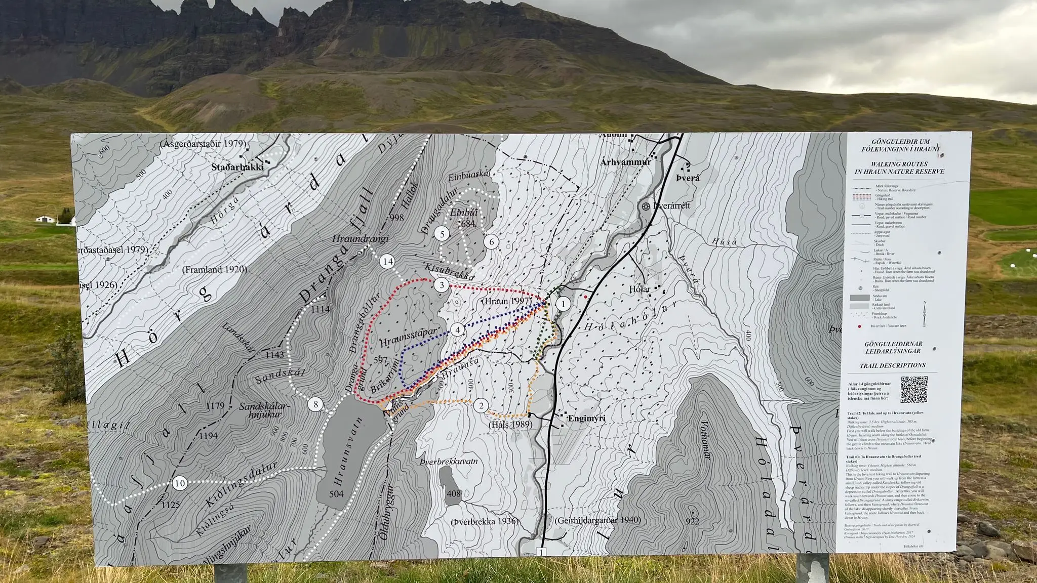
Skip the Drangafjall climb and walk the red-staked trail to the lake and back down along the Hraunsá, about four hours by the reserve's sign.
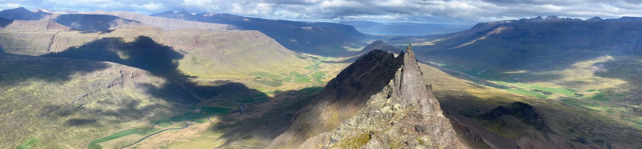
Northeast Iceland · Öxnadalur near Akureyri · Hiked September 2025
Magical glacial lake, epic vantage point at the top
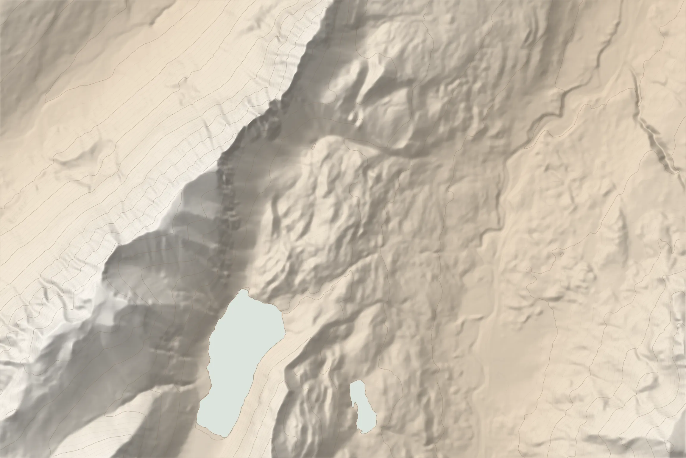 DRANGAFJALL 1142 M TRAILHEAD HRAUNSVATN
Hraunsvatn is a secluded, glacial mountain lake nestled in the Öxnadalur valley in northern Iceland. In spite of being right on route 1, it is not visible from the Ring Road and is therefore less known to mass tourism, while the Drangafjall range above it, with its serrated ridges framing the Hraundrangi spire, is very much visible from the road. This walk has two very different stages. The first is an easy walk from the farm Hraun on the red-staked trail of the Hraun nature reserve, up through Kisubrekka and Drangabollar and down to the lake. The second is a rough, relentlessly steep climb over loose scree from the shores of Hraunsvatn to the Drangafjall plateau. From the 1116 m observation point at its north end you will be looking down on the 1075 m Hraundrangi, and the high point of about 1142 m sits at its south end. The route then drops steeply back to the lake and follows the Hraunsá river down to Hraun.
0.0–0.7 km · level, heading W · 228 → 235 m (1%)
Terrain Marked, well-established trail with red stakes all the way to the lake.
0.7–2.0 km · steep climb, heading W · 235 → 489 m (18%)
Viewpoint · 1.6 km · 418 m
Excellent view of Drangafjall skyline with Hraundrangi front and center. 1.6 km
2.0–3.4 km · climb, heading WSW · 489 → 559 m (5%)
3.4–4.4 km · descent, heading SSW · 559 → 504 m (-6%)
Intersection · 4.2 km · 501 m
Leave the marked trail, continue along the lake shore SSW. 4.2 km
4.4–7.3 km · steep climb, heading NNW · 504 → 1095 m (21%)
Terrain Starts grassy, turns to scree as you climb.
Intersection · 4.5 km · 507 m
Leave the shore, turn right, climbing steeply uphill. 4.5 km
Viewpoint · 5.8 km · 1065 m
Ledge overlooking the valley, near the end of the climb. 5.8 km
Viewpoint · 6.8 km · 1113 m
North viewpoint towering above Hraundrangi. 6.8 km
The 1116 m observation point at the north end of the plateau, looking down on the Hraundrangi spire, with Öxnadalur and Hörgárdalur on either side.
7.3–7.8 km · climb, heading SSW · 1095 → 1142 m (9%)
High point · 7.8 km · 1142 m
South viewpoint is also the highest point on the hike. Excellent views over rest of south end of the ridge. 7.8 km
7.8–9.7 km · steep descent, heading SE · 1142 → 514 m (-33%)
9.7–10.7 km · level, heading ENE · 514 → 499 m (-1%)
10.7–11.3 km · steep descent, heading NE · 499 → 385 m (-20%)
Terrain Back on the marked trail, down along the Hraunsá.
11.3–13.3 km · descent, heading ENE · 385 → 224 m (-8%)
Intersection · 12.5 km · 246 m
Turn right on the ascent path, then continue to the parking area. 12.5 km
Parking · 12.7 km · 227 m
From Akureyri, follow route 1 west into Öxnadalur to the farm Hraun, below Hraundrangi.
Observation layby on the side of route 1, with the board for the walking routes of the Hraun nature reserve (Fólkvangurinn í Hrauni).
Sturdy boots (backpacking or light mountaineering) are essential for the scree climb to Drangafjall. Hiking poles recommended for balance on the loose scree.
181 MORE ROUTES ARE ON THE WAY
Conditions in Iceland change fast - check safetravel.is before you go, and read our terms: you hike at your own risk.