First viewpoint and back Shorter
Turn around at the first viewpoint, about 30 minutes up; allow at least 45 minutes there and back.
Capital Region · Between Reykjavík and Mosfellsbær · Hiked August 2026
A short hill walk with sweeping views over Reykjavík
 ÚLFARSFELL 296 M TRAILHEAD
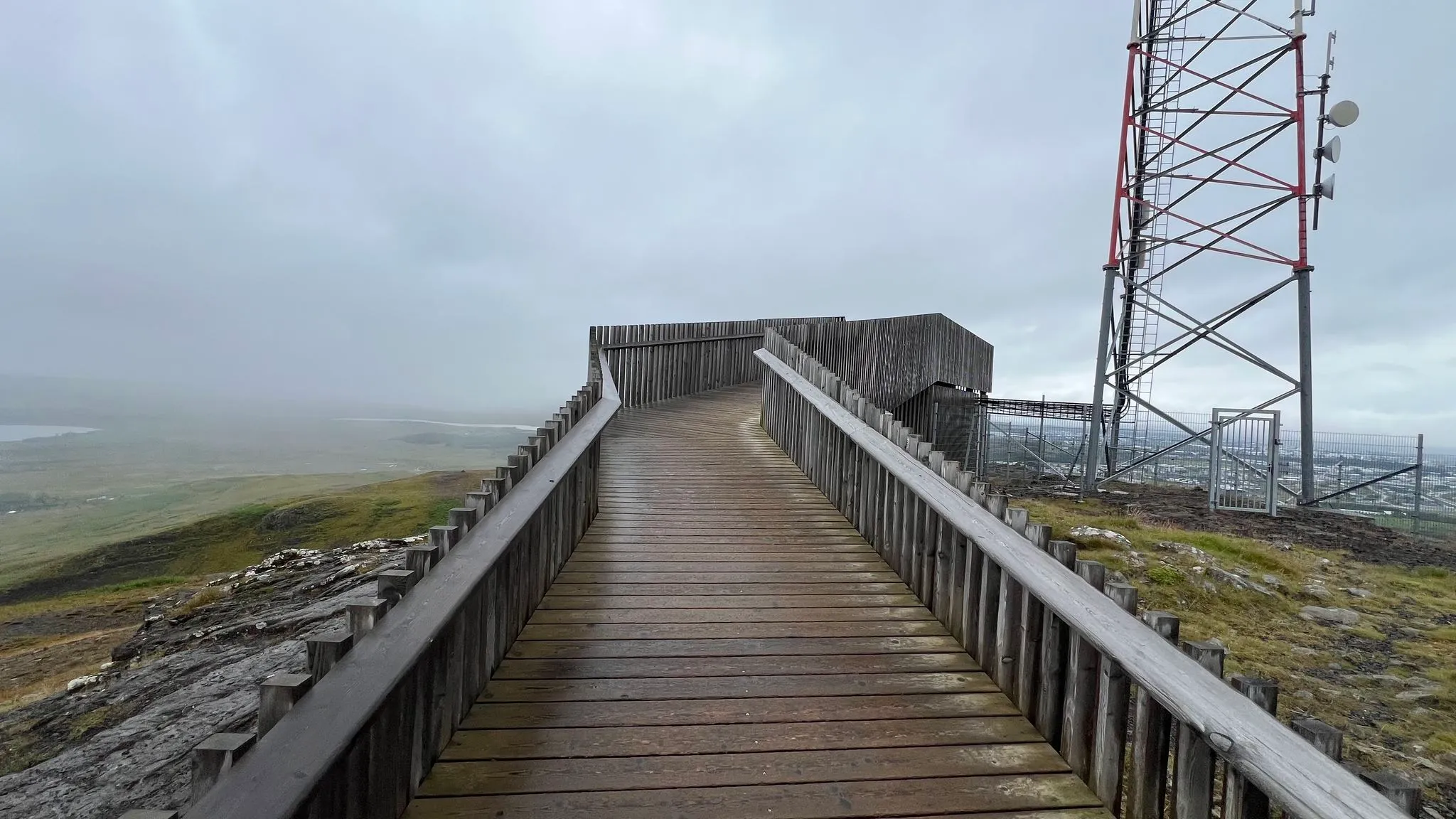
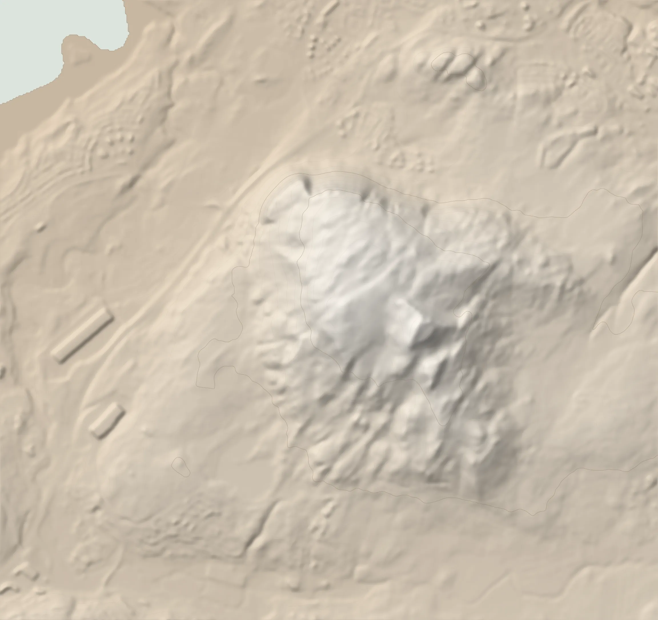
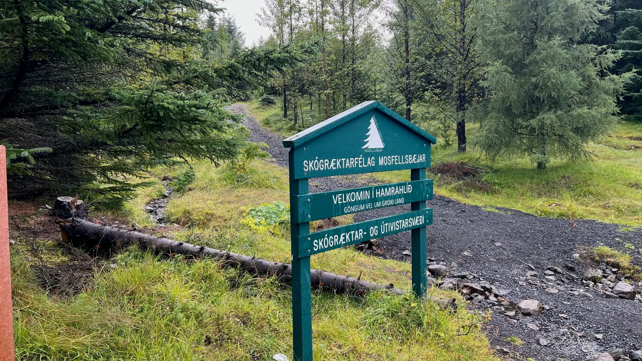
Úlfarsfell rises at the edge of Reykjavík, near the Mosfellsbær suburb. It makes a short but steep leg stretcher. Paths cross the hill from three sides; navigation is straightforward and there are several ways to put a walk together. The two things not to miss are the impressive engineered observation platform on the summit and Hákinn, a lower top with good views over Reykjavík and the surrounding landscape. This loop starts in the woodland at Hamrahlíð on the western side, climbs steeply to the platform, drops to a lower junction, climbs again to Hákinn and descends back to the start. Allow about 45 minutes for the first viewpoint and back, and about two hours for the whole loop.
Start at Hamrahlíð on the western side of the hill and climb east, then southeast to the summit observation platform.
0.0–1.0 km · steep climb, heading E · 61 → 266 m (20%)
Terrain A staked woodland path with exposed roots and rocky steps.
Cairn · 0.5 km · 190 m
Cairn · 0.9 km · 266 m
1.0–1.9 km · level, heading SE · 266 → 296 m (4%)
Terrain Rocky / packed dirt paths among moss.
Cairn · 1.1 km · 266 m
Platforms (viewpoint) · 1.8 km · 296 m · high point
The impressive engineered observation platform on the summit, the first of the walk's two highlights.
Cairn · 1.9 km · 296 m · high point
View Reykjavík and the surrounding mountains.
Sign (summit) · 1.9 km · 296 m
Wooden sign with a metal placard marking the summit, altitude (296m) and GPS coordinates. 1.9 km
1.9–4.7 km · descent, heading WNW · 296 → 59 m (-8%)
Terrain Stony paths down to the lower junction; scree and heavily eroded steep sections on the final descent from Hákinn.
Continue south from the summit to the lower path junction, then turn back northwest and climb to Hákinn.
Cairn · 2.2 km · 250 m
Intersection · 2.4 km · 222 m
Cairn · 3.4 km · 275 m
View Hákinn, the second highlight: a cairn, a bench and the view over Reykjavík.
From Hákinn, descend west and return north to the starting area. The return is less steep overall than the outward climb, but the final descent from Hákinn includes scree and heavily eroded steep sections. We used hiking poles and careful footing, with no hands needed. There is no exposure.
From Route 1 (Vesturlandsvegur), turn off at the roundabout towards Hamrahlíð to reach the woodland parking area on the western side of Úlfarsfell.
In the wooded area beside Route 1 at Hamrahlíð. Parking is free, straightforward and accessible by a normal car.
None
181 MORE ROUTES ARE ON THE WAY
Conditions in Iceland change fast - check safetravel.is before you go, and read our terms: you hike at your own risk.