Southern peaks Extension
The ridge continues to the south with a series of sharp, shark-tooth-like peaks; the closest ones are fairly easy to explore.
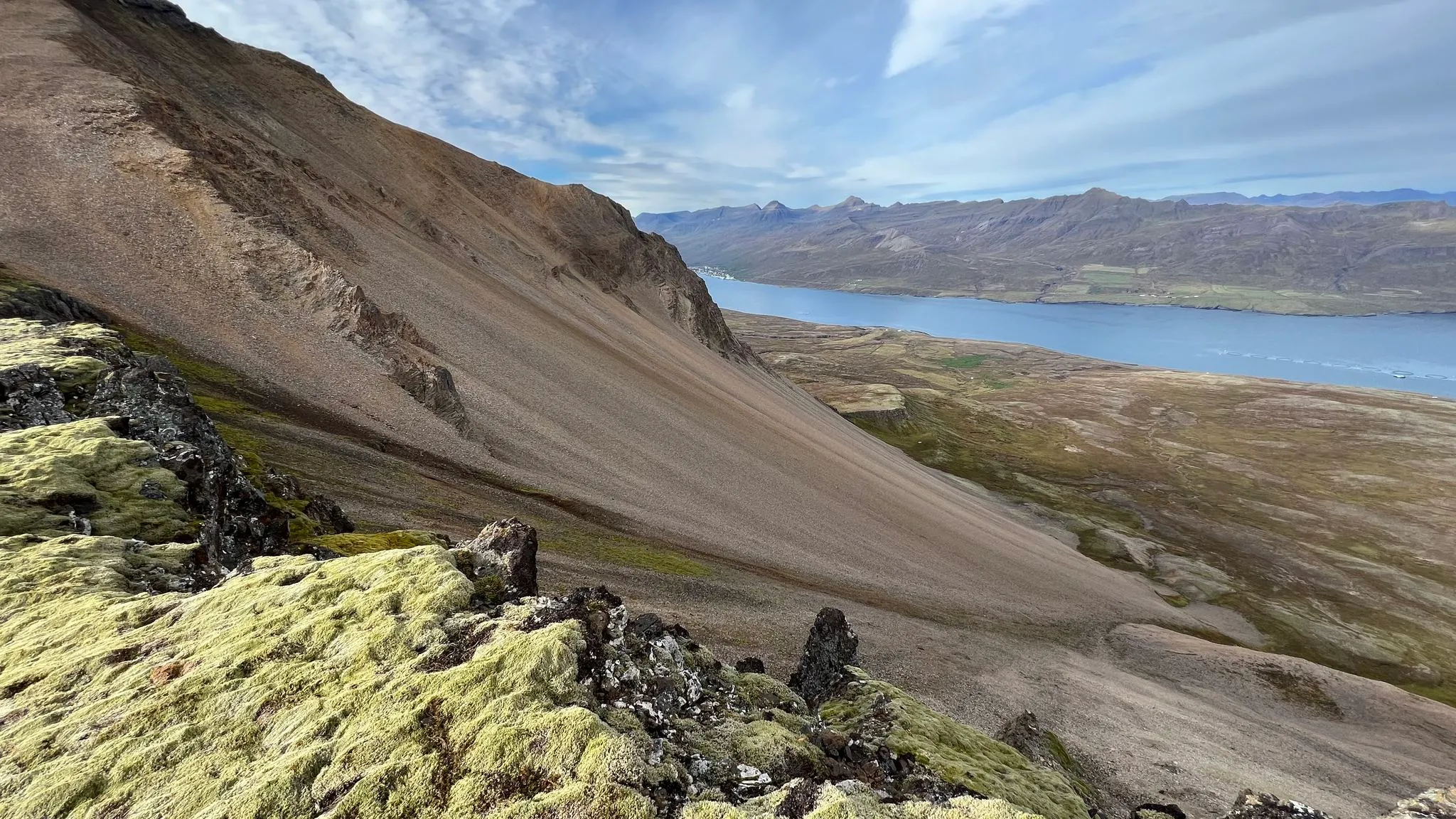
East Iceland · Near Fáskrúðsfjörður, East Fjords · Hiked September 2022
Unique rhyolite mountain with beautiful views
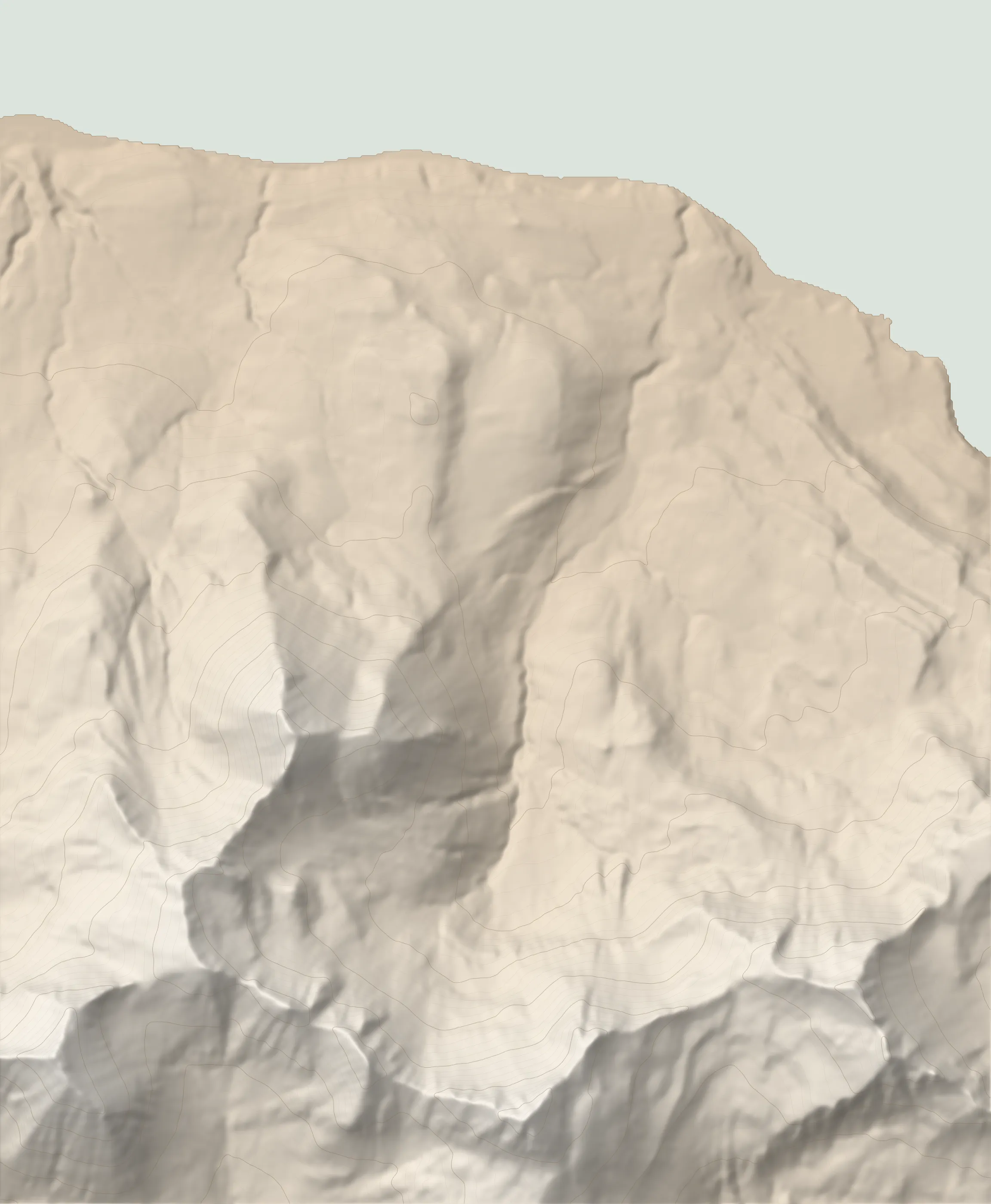 SANDFELL 743 M TRAILHEAD
Sandfell (Fáskrúðsfjörður), not to be confused with the nearby, similarly named peak near Lagarfljót, is a unique rhyolite mountain near the inlet of Fáskrúðsfjörður. It stands out against the nearby peaks due to the multi-hued rhyolite rubble that dons its fjord-facing versants. If you squint, it could look like a giant sand pile, which explains the name.
The walk to the top avoids most of the rubble the mountain is named for. It accomplishes this by following the valley of Víkurgerðisá river around the eastern versant and inside a vast glacial bowl before doubling back towards the peak.
The walk begins at a small parking area off rt1 on the southern side of Fáskrúðsfjörður. There are two trail heads here, both marked with respective trail description panels. One is for Víkurheiði (#15 on the trail map), which takes you to Stöðvarfjörður but circumnavigates the peaks. It starts to the left of the parking area. The other trailhead is for Sandfell and Lambaskarð (hikes 14 and 13 respectively). Note that, even if the official trail description says the trail is unmarked, as of 2022, the Sandfell path was marked with red-tipped sticks.
Start behind the trail sign for Sandfell and Lambaskarð, continuing along the left bank of Víkurgerðisá. The well-trodden trail is sandwiched between the river bank and a fence. The grade is mellow and for the most part the going is quite easy. However, there are sections where the passage is quite narrow and the banks are crumbling.
As you continue along, a couple of small tributaries can normally be crossed without wading.
After about 3km from the start (at about 200m a.s.l.) the grade steepens as the trail veers slightly west, continuing to follow the left bank of the river.
At about 3.6km, the trail to Sandfell separates from the Lambaskarð trail. The latter will take you to the eponymous mountain pass and on to Stöðvarfjörður. The intersection is not marked, and the spur towards Lambaskarð is very faint; however, you will notice the westward change of direction for the well-defined trail to Sandfell.
As you continue westward, a series of small but pretty waterfalls provide a nice respite from the relentless climb.
You are now in a vast glacial cirque. At the back of the bowl, a row of sharp cliffs is eerily similar to shark teeth.
At around 4.2km from the start and 370m a.s.l., cross the stream and head north-west across the heath, aiming for the vegetated hillside sandwiched between the rubble-covered slopes.
Underfoot, the flattening grade means that the grass turns to bogs and tussock.
The first truly steep section starts at around 4.6km. You will gain about 150m of altitude in roughly 350m. Your footing will be helped initially by the grassy hillsides. When those turn to scree the slope mellows, mercifully.
When you reach the 5km point at around 600m a.s.l. you can continue to follow the markers straight ahead or you can veer right to explore a charming, moss-covered mid-mountain ledge. It offers a nice respite from the hard climb as well as beautiful views toward the east side of the fjord. At the very mouth of the inlet notice three small islands - Æðarsker, Andey (flat and long) and Skrúður (stocky and whitish).
Directly to the east, the ocean view is blocked by the Lambafell peak. To its right, the approach to Lambaskarð looks fairly technical, with several rocky rows to negotiate.
Leave the mossy ledge behind you, heading westward for another calf-burning climb. At this point any leftover vegetation is gone, and the rubble is loose. Fortunately, several switchbacks have been trodden through the scree. Following those should lessen the effort.
Note that you are climbing right next to the ridge and thus any potential wind effects will be magnified. The first time we hiked this trail in June 2021 we were forced to abandon the peak-bagging attempt at this point due to the buffeting winds howling over the ridge.
At the top. The top is marked by a wooden trail marker perched in between a couple of boulders. Sadly, as of September 2022 the trail guestbook was missing; the door to the metal box protecting it from the elements was ripped and the container was flooded.
From the top you will have panoramic views over the Fáskrúðsfjörður inlet to the north, as well as the nearby mountain ranges.
To the south, the ridge continues with the series of sharp, shark-tooth-like peaks.
To return, retrace your steps into Fleinsdalur and back to the parking area.
The starting point is off route 1 on the southern shore of Fáskrúðsfjörður. Look for a hiking indicator reading „Víkurheiði“.
(small unpaved parking area on the side of rt 1, room for 3-4 cars).
Sturdy boots (backpacking or light mountaineering) are recommended. Hiking poles recommended for balance. Insect net recommended in summer at lower altitudes in warm weather.
181 MORE ROUTES ARE ON THE WAY
Conditions in Iceland change fast - check safetravel.is before you go, and read our terms: you hike at your own risk.