Highest point of Tindastóll Extension
If time and conditions allow, continue along the edge past the communication tower, then north across the plateau over successive ledges to the highest point at around 950m, another 2km each way.
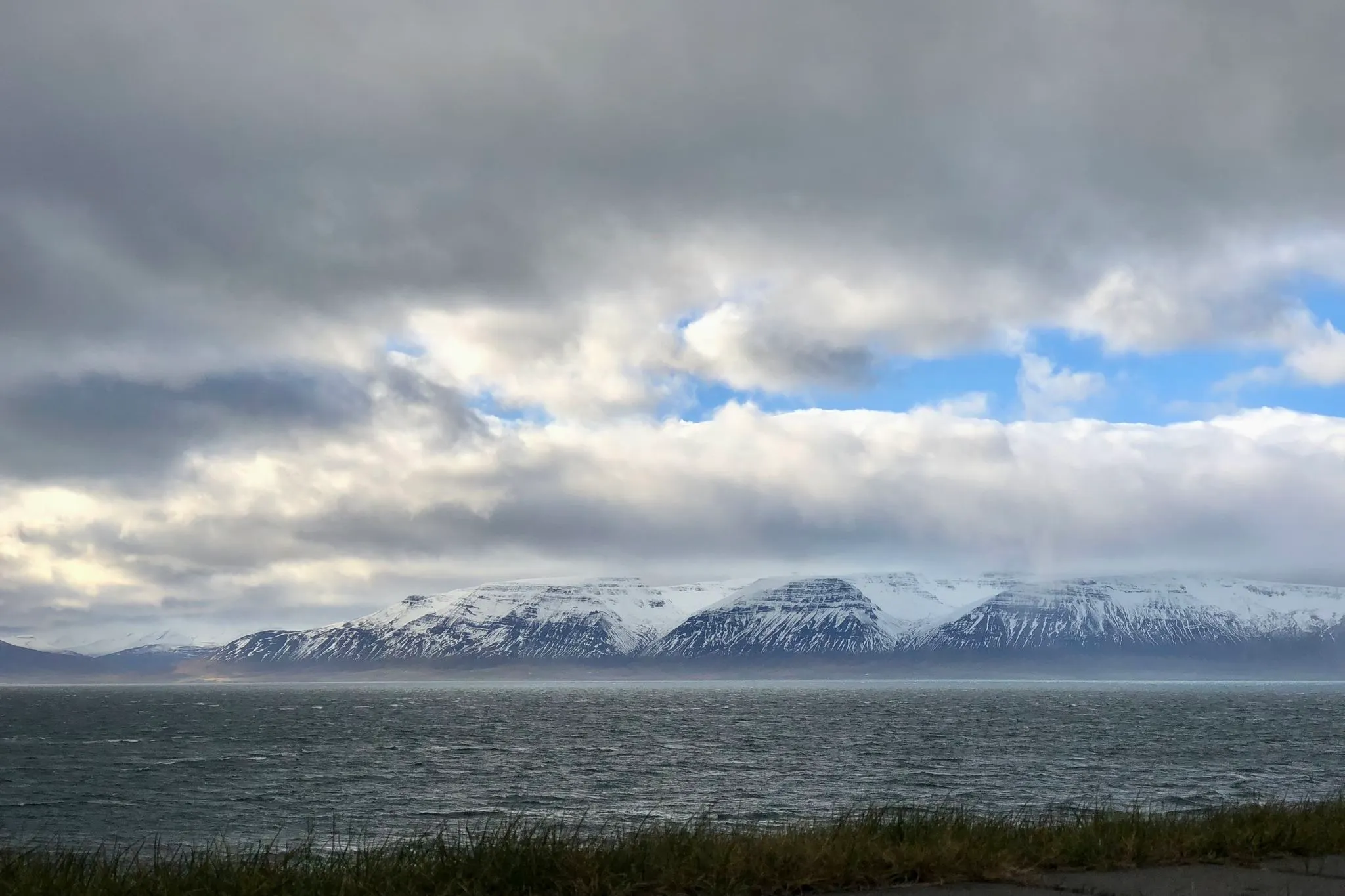
Northwest Iceland · near Sauðárkrókur · Hiked June 2021
Moderate walk to a view point in the range north of Sauðárkrókur
Hiking in spring and winter should be possible with adequate equipment (ice axe and spikes) and knowledge of winter hiking.
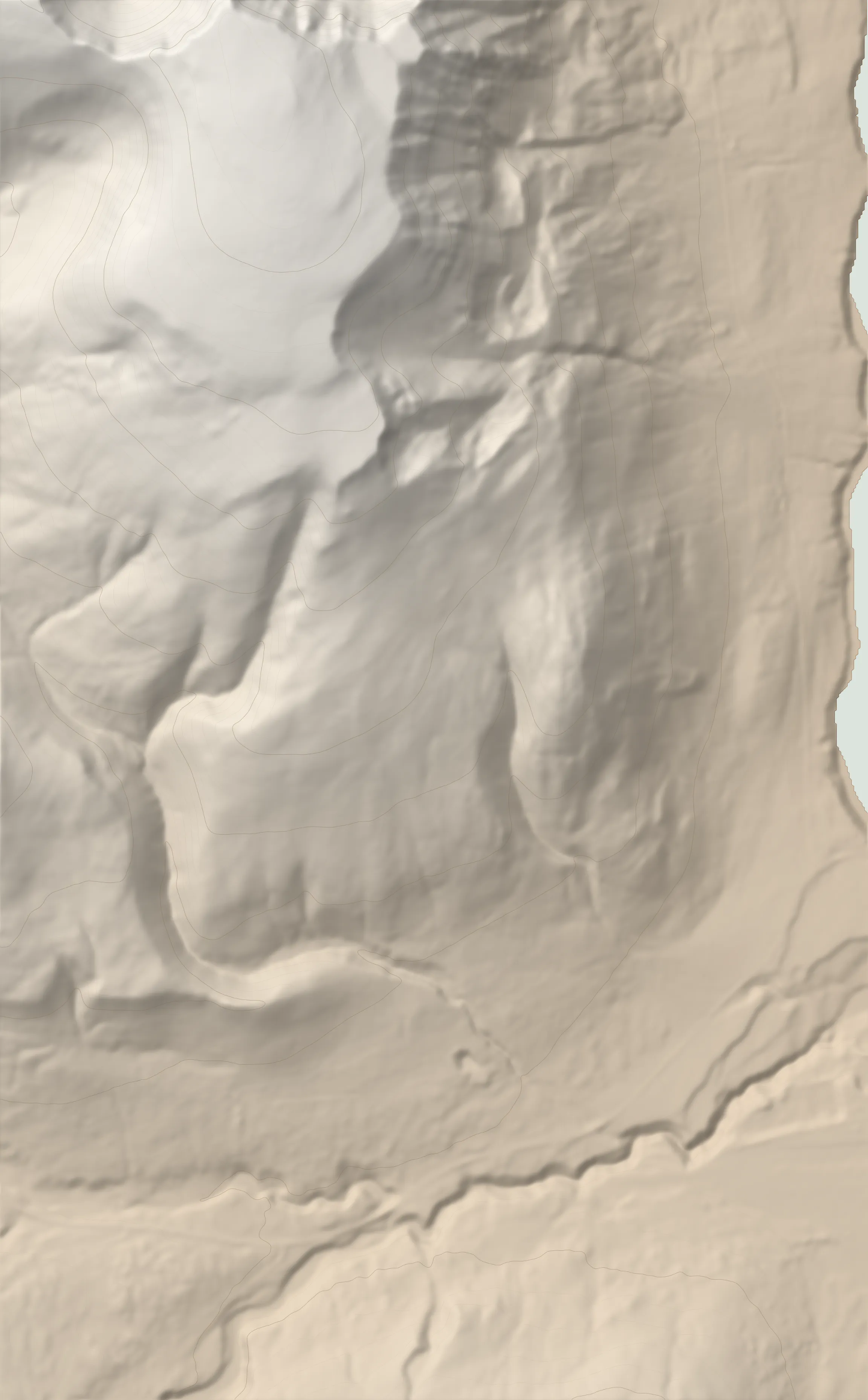 VIEWPOINT 869 M TRAILHEAD
Tindastóll is one of the most accessible and scenic hikes in the Skagafjörður area. There are several ways up the mountain; we are describing here the southernmost one, starting right outside Sauðárkrókur which, in our opinion, has the most spectacular views.
Start right behind the information panel describing the hike (Icelandic only). Take the right fork of the gravel road heading uphill. After an initial zig-zag, the road heads straight up. Follow it for about 0.6 km, then veer right following the white tipped stakes. On the lower slopes, there is plenty of vegetation and the trail is well formed.
The grade is moderate and the views across the fjord to the east and behind towards Sauðárkrókur and the mountains beside it are only getting better with altitude.
As you gain in altitude, the terrain underfoot changes from shrubs and grass to dirt and gravel. There will be some muddy spots, especially early in the summer when snow is still melting.
After about 3km of fairly constant upwards climbing, the grade mellows as you cross a high plateau. The melting snow here creates mesmerizing multi-hued streaks in the dirt.
The trail across the plateau is vague. For navigation, head slightly north-west, and look for trail markers painted white on prominent rocks.
At 3.2km (650m of altitude) you’ll start the first steep section of the hike, heading slightly eastward across the hillside. Look for a small cairn with a trail marker atop.
Ahead of you, a well defined knob looks unassailable but can be bypassed on the right. As you get closer, take note of the multicolored volcanic rocks peppering the ground.
After a quick scramble to get to the plateau, turn back towards the knob, which offers an excellent observation point for the valley below (coordinates: 65.778495° N, 19.715870° W).
At the top, you are on a vast high plateau with most of the climbing behind you. Walk eastwards across the barren, rocky landscape, tracing along the edge.
A good stopping point is a cairn at 65.780053° N, 19.711783° W.
Look for a small outlier on the cliff’s edge near the cairn for a lunch spot with a bird's-eye vantage point. The views across Skagafjörður are magnificent. On a clear day you can clearly see the village of Hofsós across the bay and behind it the mountainous background of Tröllaskagi. To the south, you’ll see the village of Sauðárkrókur and to its right, another eminently climbable peak - Molduxi.
Continuing across the plateau yields diminishing results in terms of views and sheer hiking pleasure. The highest point is at around 950m and requires hiking another 2km (each way). When we hiked the mountain in mid June 2021, snow and an impending storm made further progress across the plateau (past the first ledge) undesirable.
To return, retrace your steps to the parking area at the bottom.
From the village of Sauðárkrókur, drive west on route 744 for about 2.2 km. The access to the trail is on your right but it is not readily apparent. Open the gate (and close behind you) and continue for about 400m to a fork in the road. There will be an information panel describing the hike on the right. Park your car next to it, taking care not to block the road as it is used as an access road to a quarry (visible to the west). Access to trailhead does not require 4x4 but the track is a bit rough. If you’d rather not park at the trailhead, it is also possible to leave your car by rt 744 right next to the gate. Again, do not block the gate.
Next to the information panel at the fork (65.75378° N, 19.69367° W), or by rt 744 right next to the gate (65.75211° N, 19.68791° W); do not block the road or the gate.
Sturdy boots (backpacking or light mountaineering) recommended. Hiking poles recommended for balance. Insect net recommended in summer at lower altitudes.
181 MORE ROUTES ARE ON THE WAY
Conditions in Iceland change fast - check safetravel.is before you go, and read our terms: you hike at your own risk.