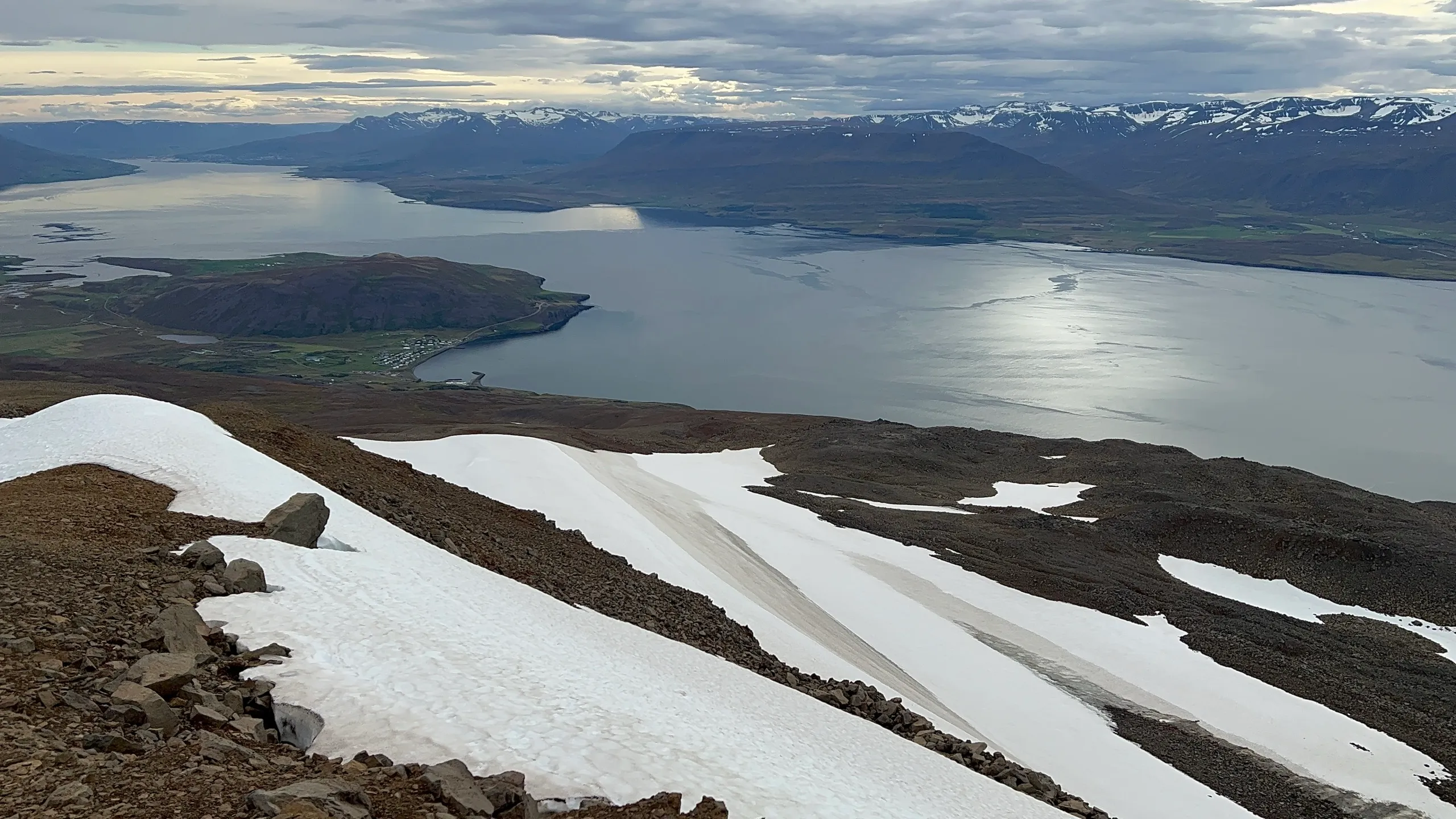
Every route on this site carries a grade from 1 to 5. It is one blended number for how hard a given route is - physical effort, navigation demand, and the seriousness of the ground - folded together. The grades are subjective but should give you a good idea about the relative difficulty of a given walk. There is no prestige attached to the number: the right hike is the one that fits the day, the weather, and your abilities.
The grades represent trail conditions in fair weather, during the summer season. They describe the route exactly as we hiked it, which could be different from what you may find in other sources. Any variants that we mention are graded separately.
The scale at a glance
Grade 1 - defined paths
Easy walks on clear paths. A grade 1 may still be steep in places and may pass above drops, but the ground underfoot is sound and the way is never in doubt. Most people can do these.
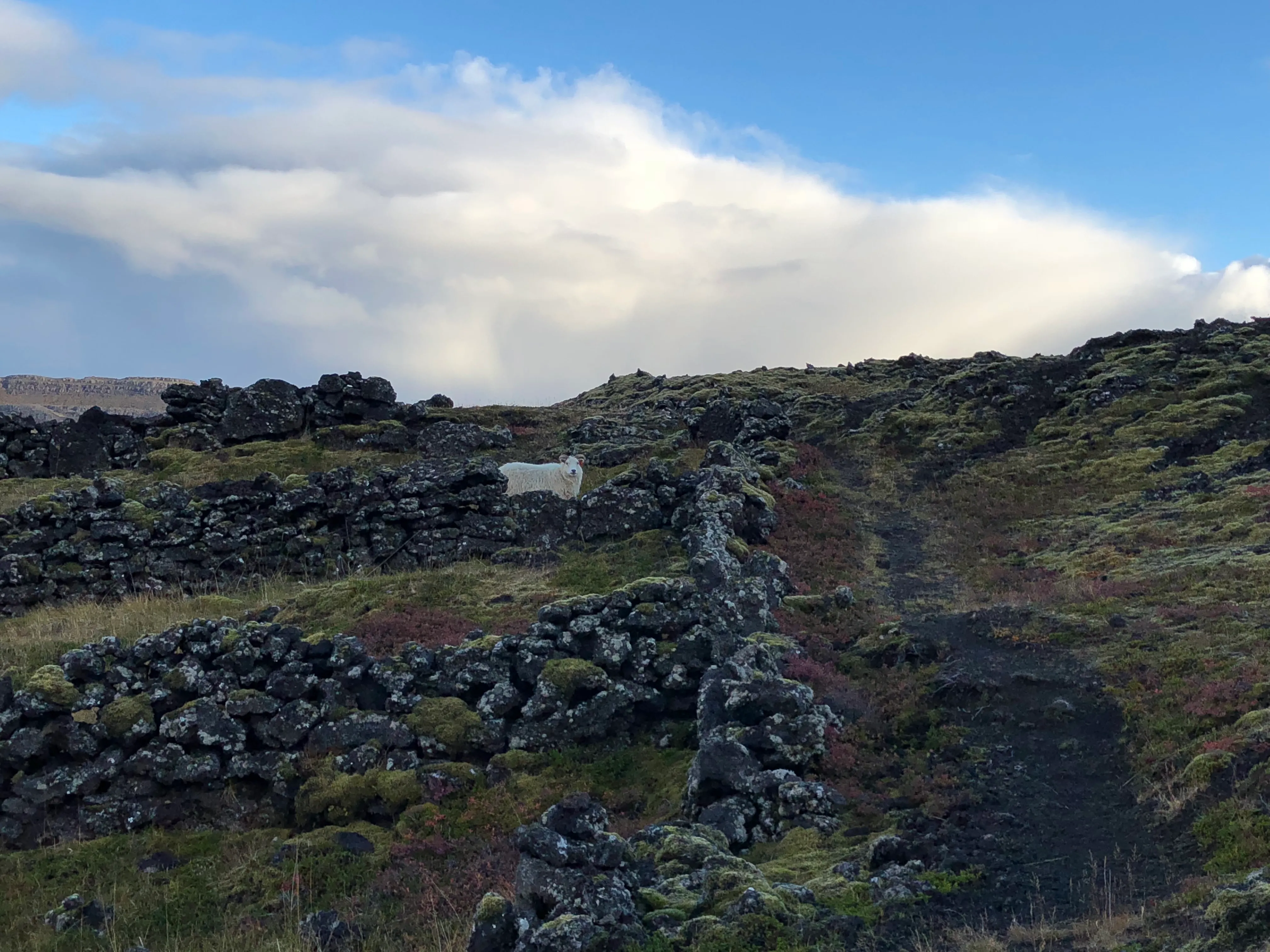
Grade 1 ground: the black gravel path through the Grábrók lava field - steep in places, never in doubt.
Grade 2 - rougher going
The path may be indistinct in places, rocky, or eroded, and you might put a hand on rock for a step or two. A sustained climb can lift an otherwise easy walk to a 2 - a few hundred meters of steady gain is a real climb, steps or no steps. Basic navigation awareness needed.
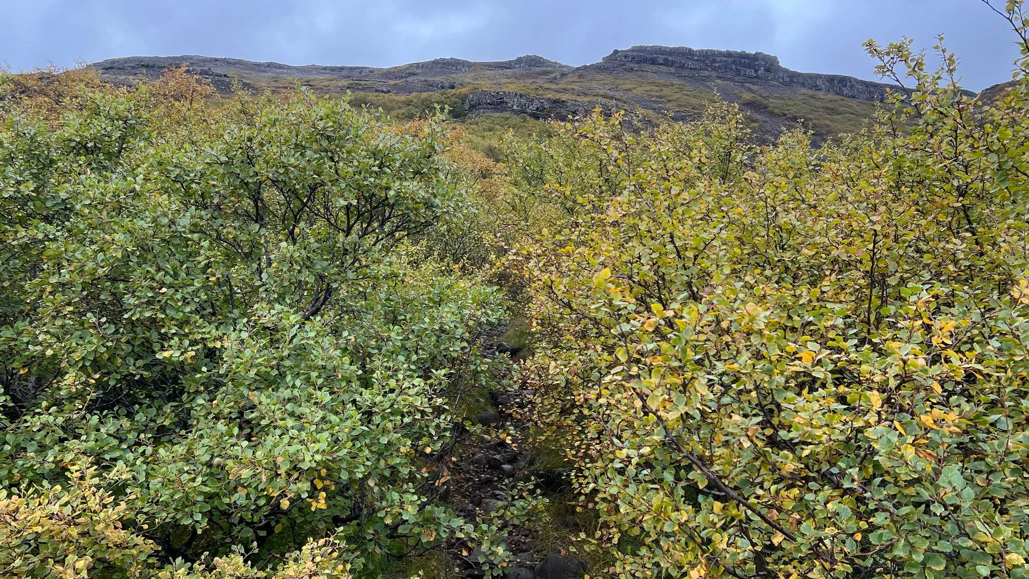
Grade 2 ground on Þyrill: the path is in there, but it is rough, rocky, and easy to lose for a step or two.
Grade 3 - proper mountain terrain
Real mountains, where competence with a map or GPS is essential and the ground stays steep for long stretches. Expect the occasional pathless or bouldery finish to a summit. Big days on continuous, well-walked paths stay here regardless of the effort involved - a thousand-meter climb on a clear trail is still a grade 3.
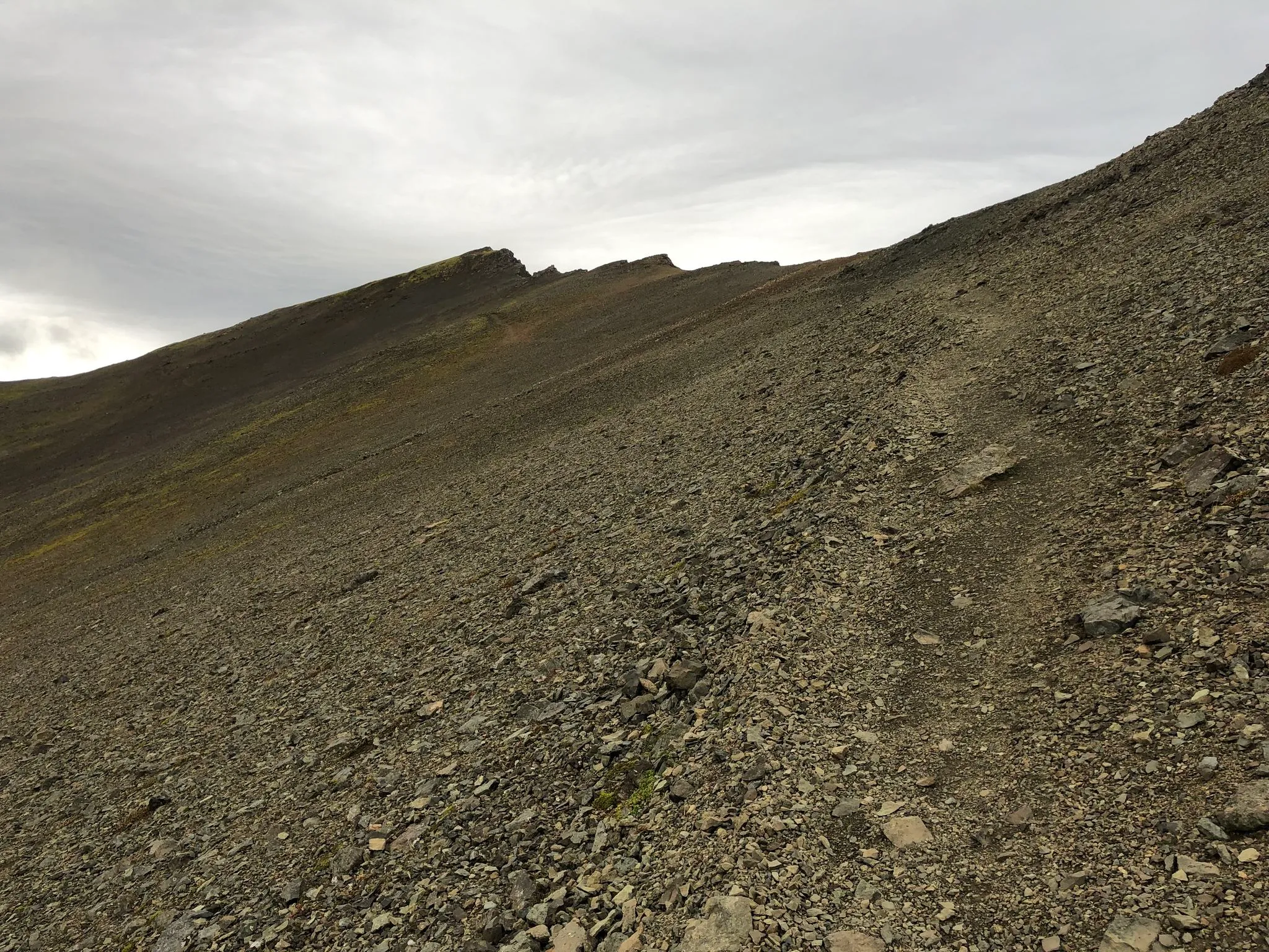
Grade 3: proper mountain terrain on the Hafnarfjall ridge - steep, stony, but not particularly hard to navigate.
Grade 4 - pathless and demanding
Earned two ways. Most grade 4s cross pathless, bouldery, or scree-covered ground where you pick your own line. There might be an occasional easy scramble. A route can also earn a 4 on sheer length and remoteness with no scrambling at all, when the day demands serious navigation and commitment. The grade is broad on purpose - most of the harder half of the catalog fits here.
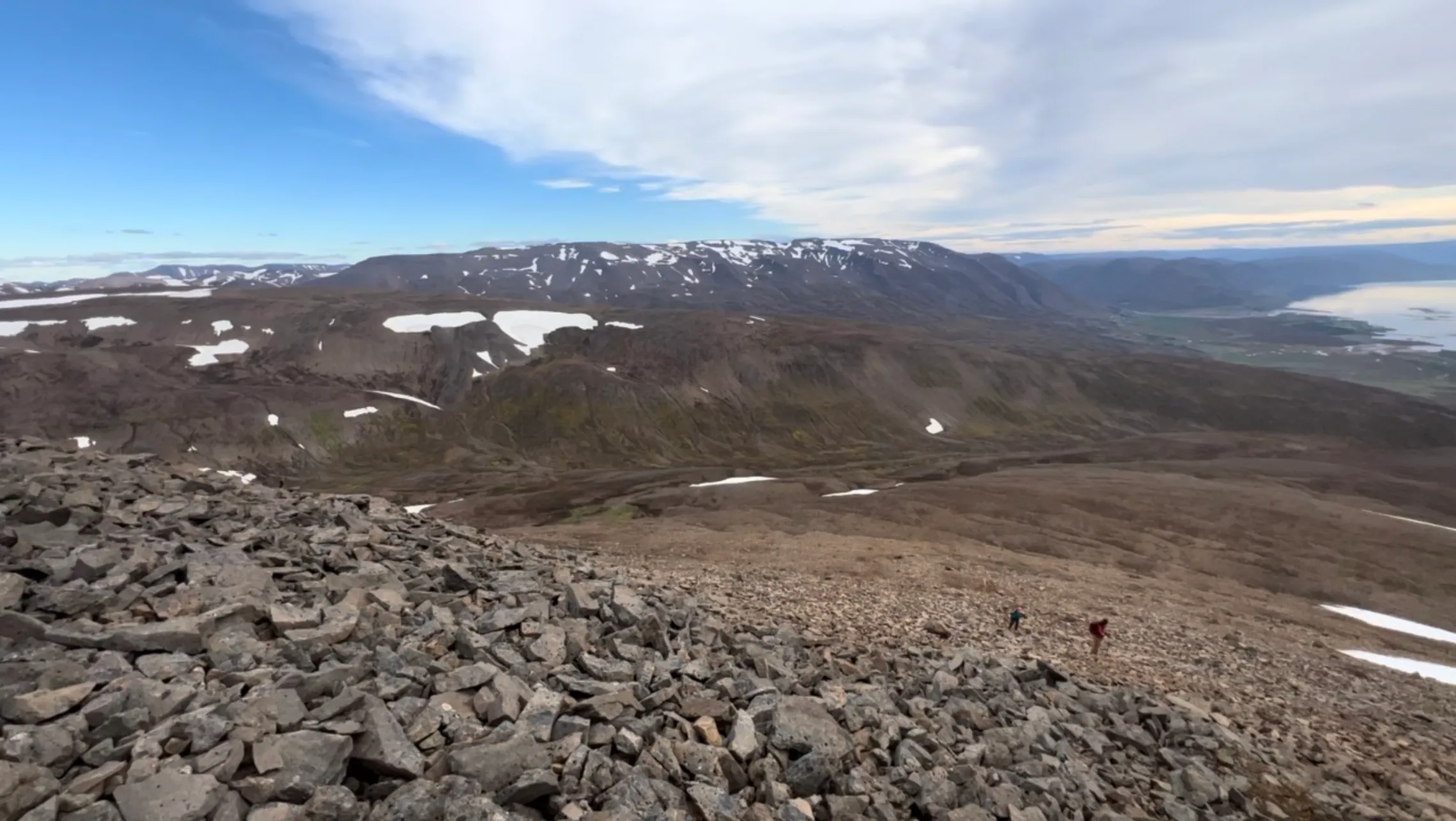
Kaldbakur is waymarked to the summit and still a grade 4: the upper mountain is bare boulder ground, and you pick your own line through it.
Grade 5 - the warning flag
A 5 tells you the route has something on it that demands more than fitness. It could be a crux you cannot reasonably avoid, with genuine consequence if it goes wrong: an unstable scree scramble, loose rock belts, high exposure traverses, or a line that touches glacier ice. While any hike can be dangerous, one graded 5 requires prior experience with difficult terrain, sound judgment about your own abilities, and oftentimes specialized equipment.
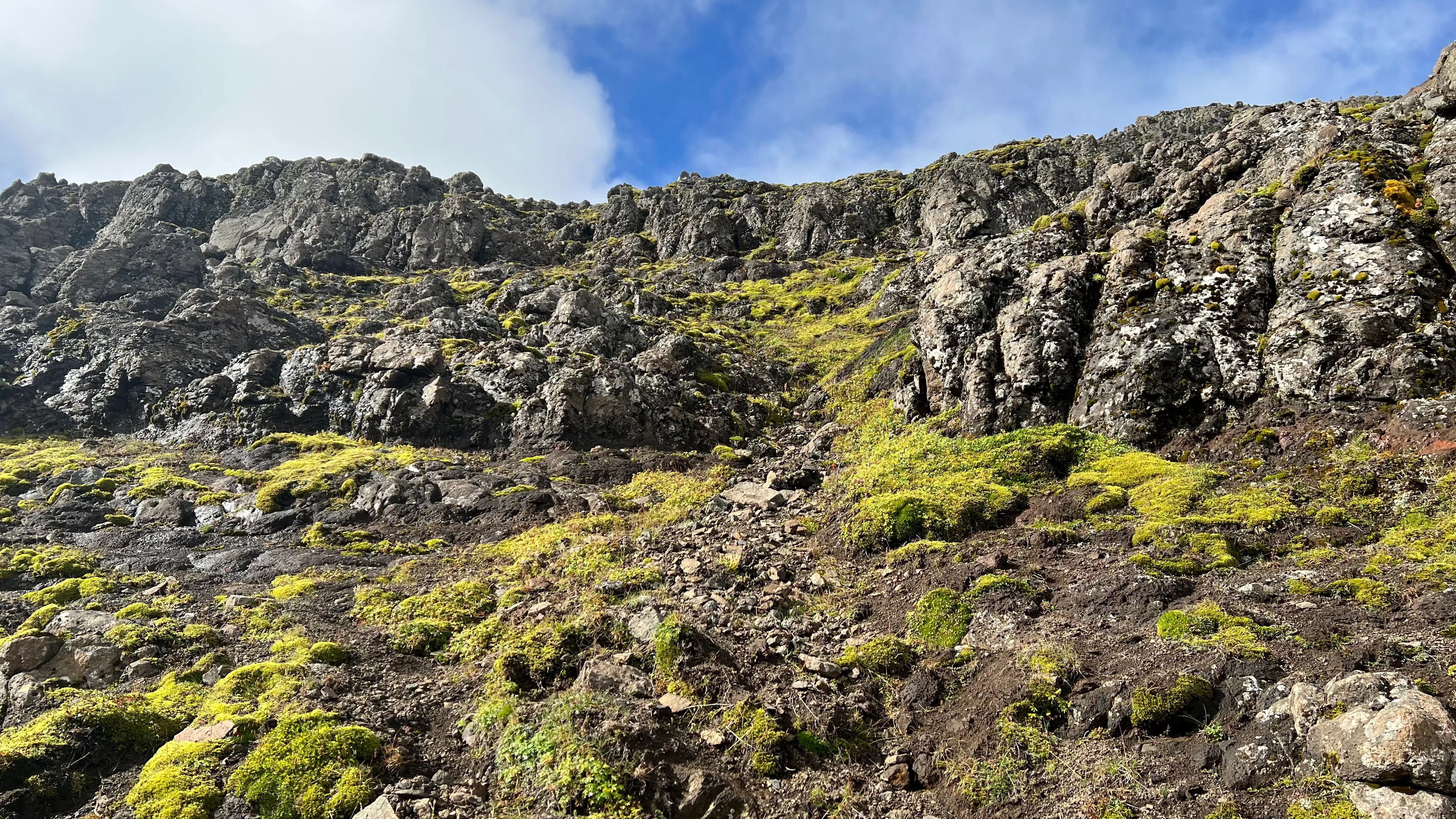
The rock belts on Hátindur: loose, unavoidable, and consequential if it goes wrong.
What moves a grade
The grade is set by the strongest axis. Terrain character, navigation demand, and consequence move it; effort alone rarely lifts a route past the middle of the scale, though a genuinely big climb counts for plenty within it. The numbers we publish - ascent, length, time - are supporting evidence, and we read them alongside what the ground is actually like.
The Iceland difference
If you hike elsewhere, most of your knowledge transfers. For example, late July to early September in Iceland is a fair match for a Scottish summer, but the terrain is harder. Vegetation gives out at around 700 meters, and above that line nothing holds the scree in place; modest-altitude terrain here behaves like much higher mountains elsewhere. Short, steep sections on loose volcanic rock carry a seriousness that similar-length walks abroad do not, and several of our grade 5s exemplify it: a route that reads as moderate on paper with one consequence-laden crux above the vegetation line.
Rivers are the other difference. Iceland has unbridged crossings on ordinary day hikes, and a difficult or seasonal ford can be the hardest thing on the route - at Glymur the crossing of the Botnsá is a first-class part of the difficulty, not a footnote. Depending on the water level, a ford that is easy in the morning can be a problem by late afternoon.
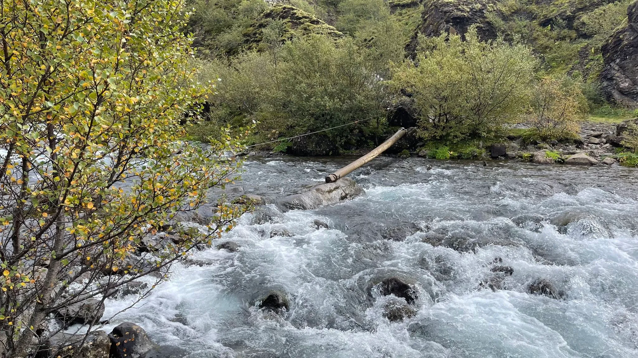
The Botnsá crossing at Glymur: on the full circuit the river, not the canyon path, is the crux.
The geologically young island presents additional unique challenges. Geothermal fields put boiling mud and thin, loose crust right beside the path, and glacier forelands leave fresh moraines of unsettled boulders that move underfoot. Routes that cross ground like this carry condition flags in the catalog beside their grade.
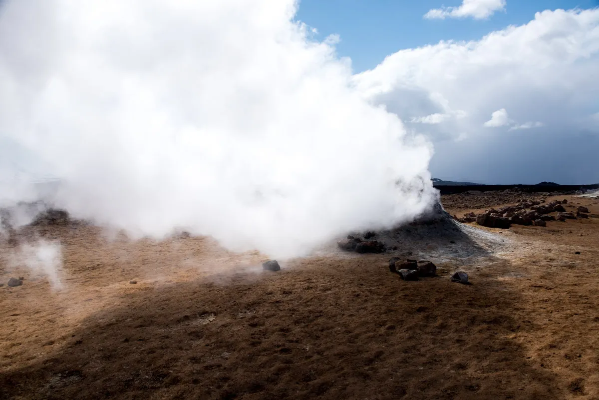
Geothermal ground at Námafjall: steam, boiling mud, and a crust you take on trust.
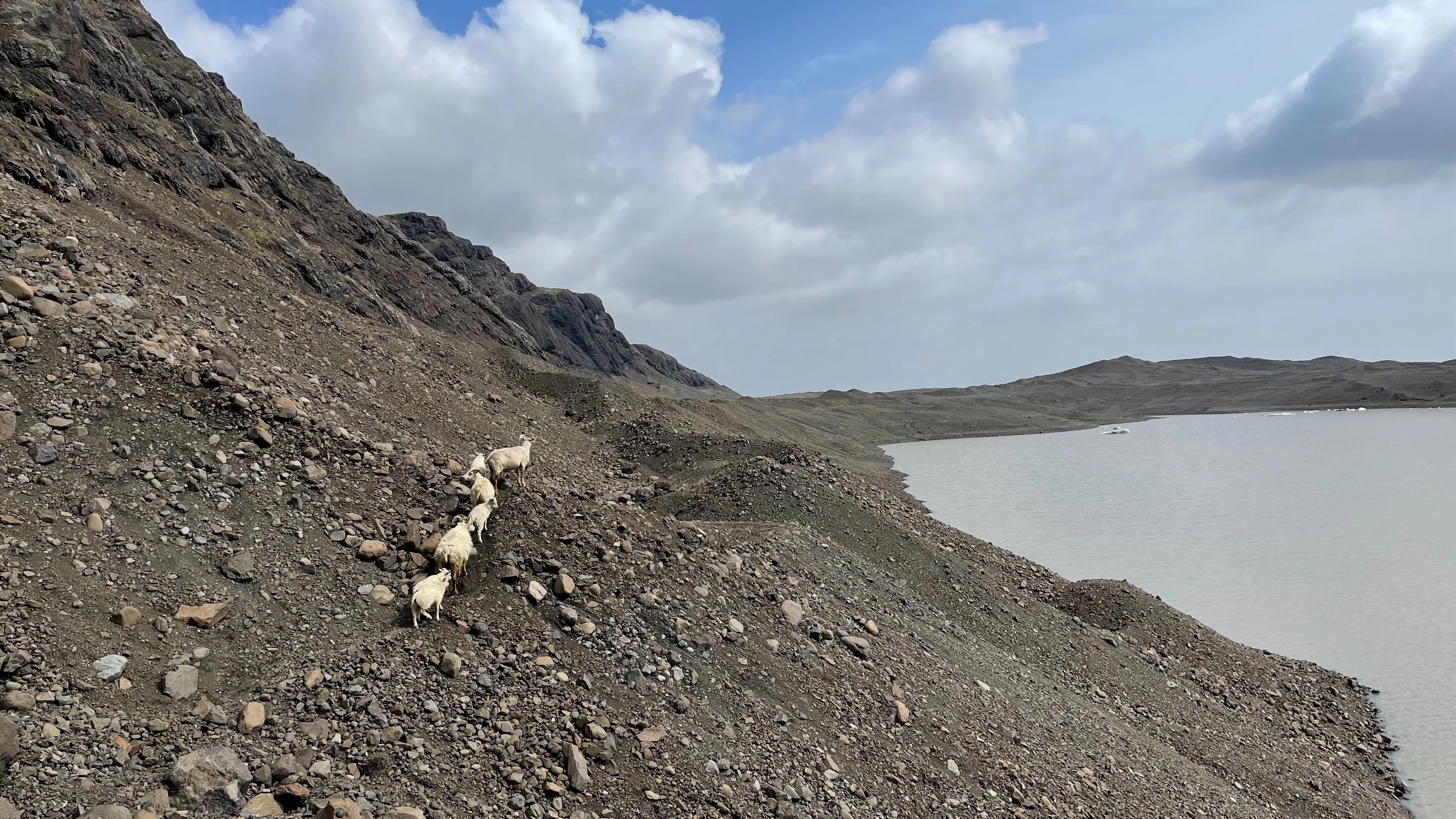
Fresh moraine below Fláajökull: rubble the ice let go of only recently, none of it settled.
What the grades don’t measure
Weather. These are fair-weather grades. Both the effort and the seriousness of every route change out of recognition in wind, rain, or cloud - check the conditions hub and safetravel.is before you commit to anything. Conditions also change rapidly in Iceland, so a hike can start as a 3 and turn into a 5 due to wind or low clouds. Use your judgment and turn back if needed.
Chains, ropes, and ladders. Aids get installed where the crowds are, mostly at a difficulty well below what the hardware implies, while a serious unmanaged crux on an obscure route gets nothing at all. We grade the ground and its consequence, not the furniture.
Winter. Every route regrades under snow and short daylight, and the number on the page stops applying sometime in October. Read the seasons guide to find out more about how walking in Iceland changes with the seasons.
We grade the route we walked
Each grade attaches to the exact line we hiked, in the year we hiked it. Where the write-up mentions an alternate route, that alternative gets its own grade beside the main one. Móskarðshnjúkar is the standing example: the full circle over the ridge is a 4, the out-and-back to the summit is a 3, and the page tells you both. We would rather grade what we did than what was theoretically optimal.
Translating from home
If you hike in the UK, our numbers are built to translate directly: the scale is anchored to the five walking grades used by walkhighlands, the standard Scottish hillwalking reference, translated for Icelandic ground. A tuffmoss 3 is comparable to a straightforward Munro. Compared to Ferðafélag Íslands’ boot grades, the mapping is looser - their scale measures exertion, while ours folds in terrain and consequence - but on the routes we share with their catalog the two rarely disagree by more than a boot.
A grade 5 is a warning, not a badge
Nobody should collect fives. If you are asking yourself whether you are ready for one, the honest answer starts with being comfortable turning around. The routes will still be there.
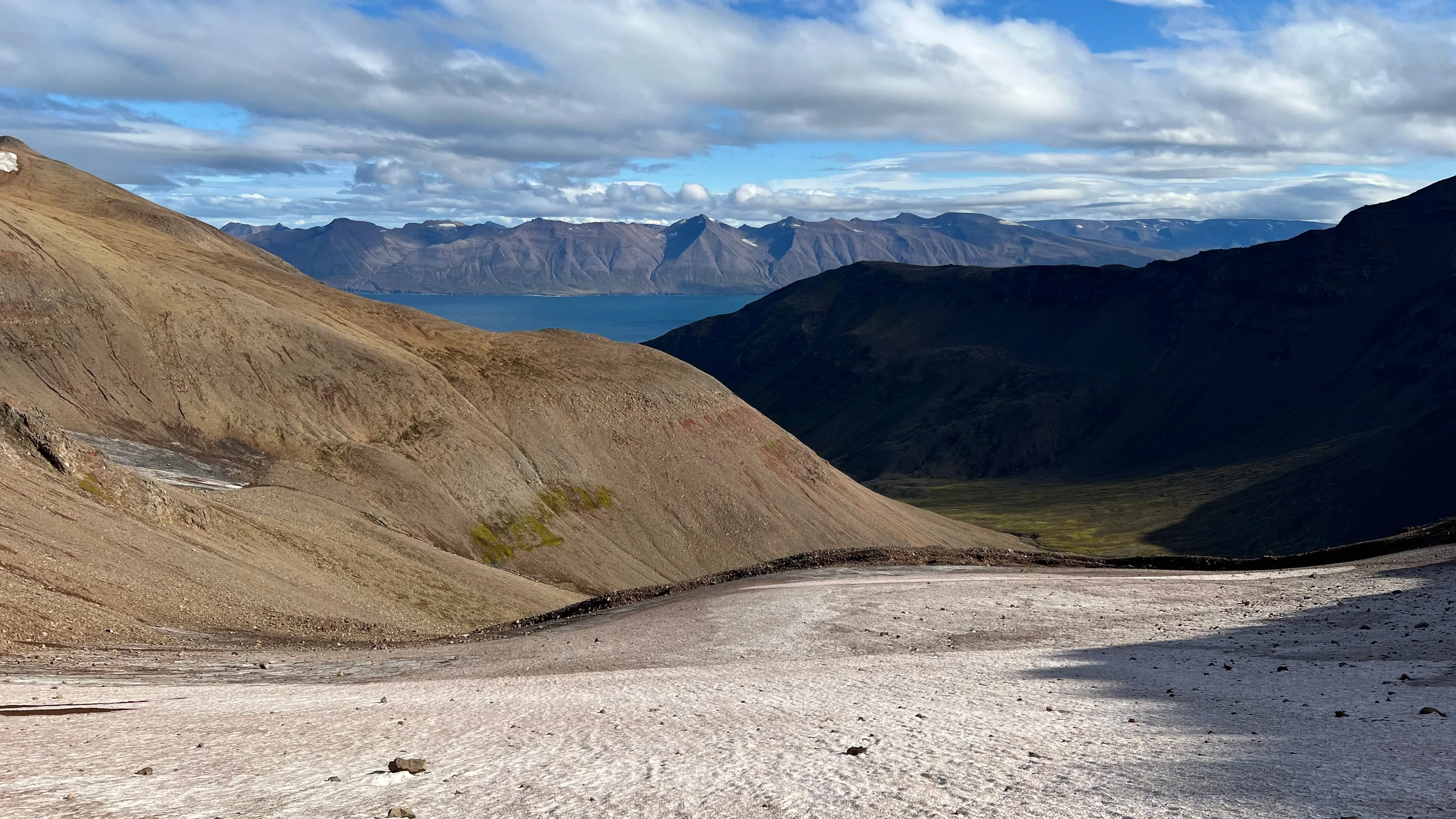
The cirque glacier on Kerahnjúkur - crampons, ice axe, and helmet territory, and the ceiling of the scale.